Climbing South Sister, Oregon (08/30/2026)
South Sister Trip Report, August 2026
Key Info
Trailhead: Devil’s Lake. You can also access South Sister from the Green Lakes trailhead, though that route is steeper, less frequented, and slightly more scramble-y.
I entered at Devil’s Lake and exited at Green Lakes, making a loop. This means my reported mileage and elevation gain differs from the out-and-back numbers for both routes.
Class: 2 (minor scrambling through lava rock fields)
Ropes: Not needed
Helmets: Not needed
Trailhead Camping: No
Fee: Yes, you’ll need a Northwest Forest Pass to park near or at the trailhead
Permit: Yes, you must get a Central Cascades Wilderness permit
Mileage: 14.74 miles (23.7 kilometers) round-trip
Elevation gain: 5,728 feet (1,746 meters) round-trip
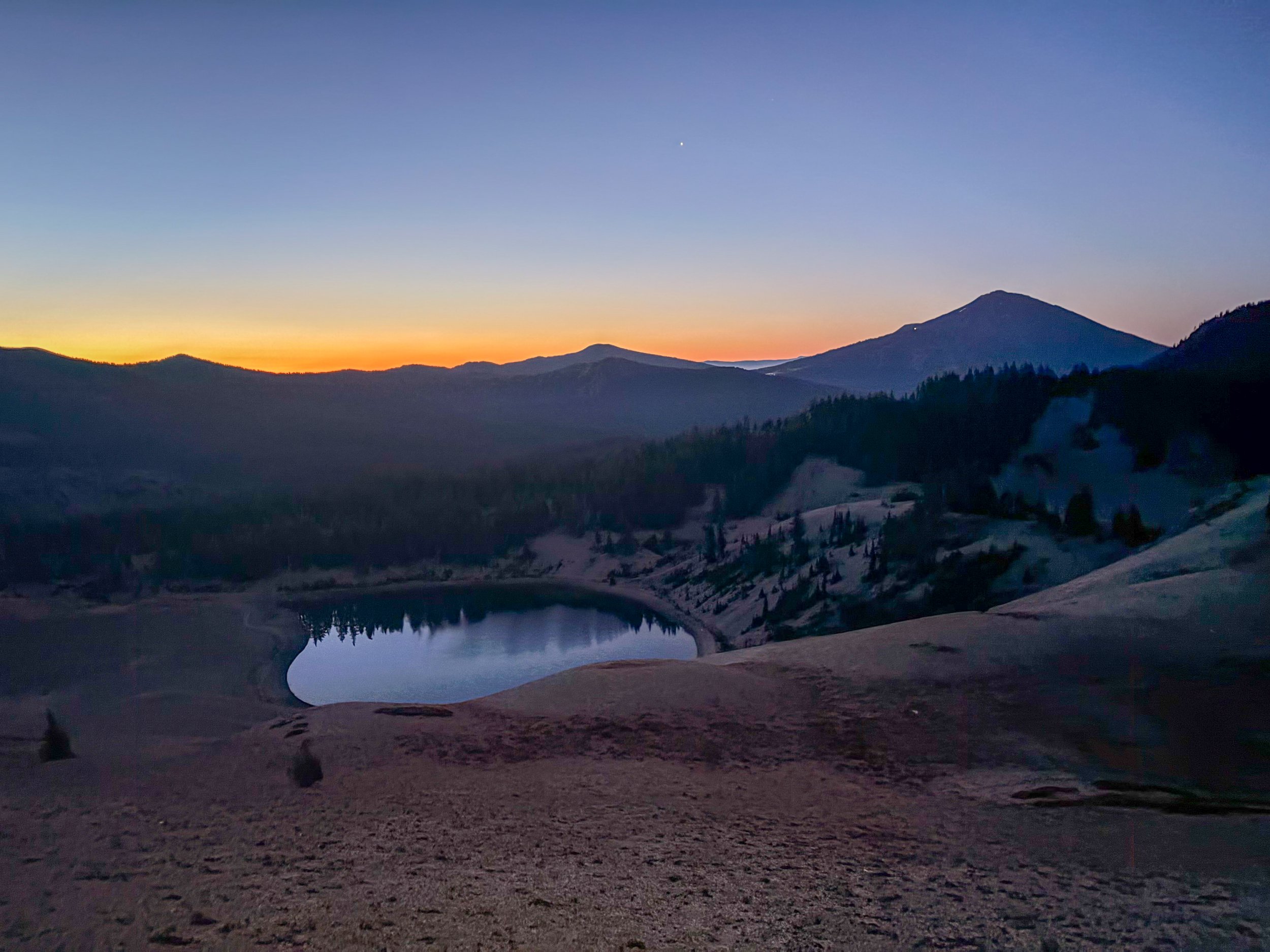
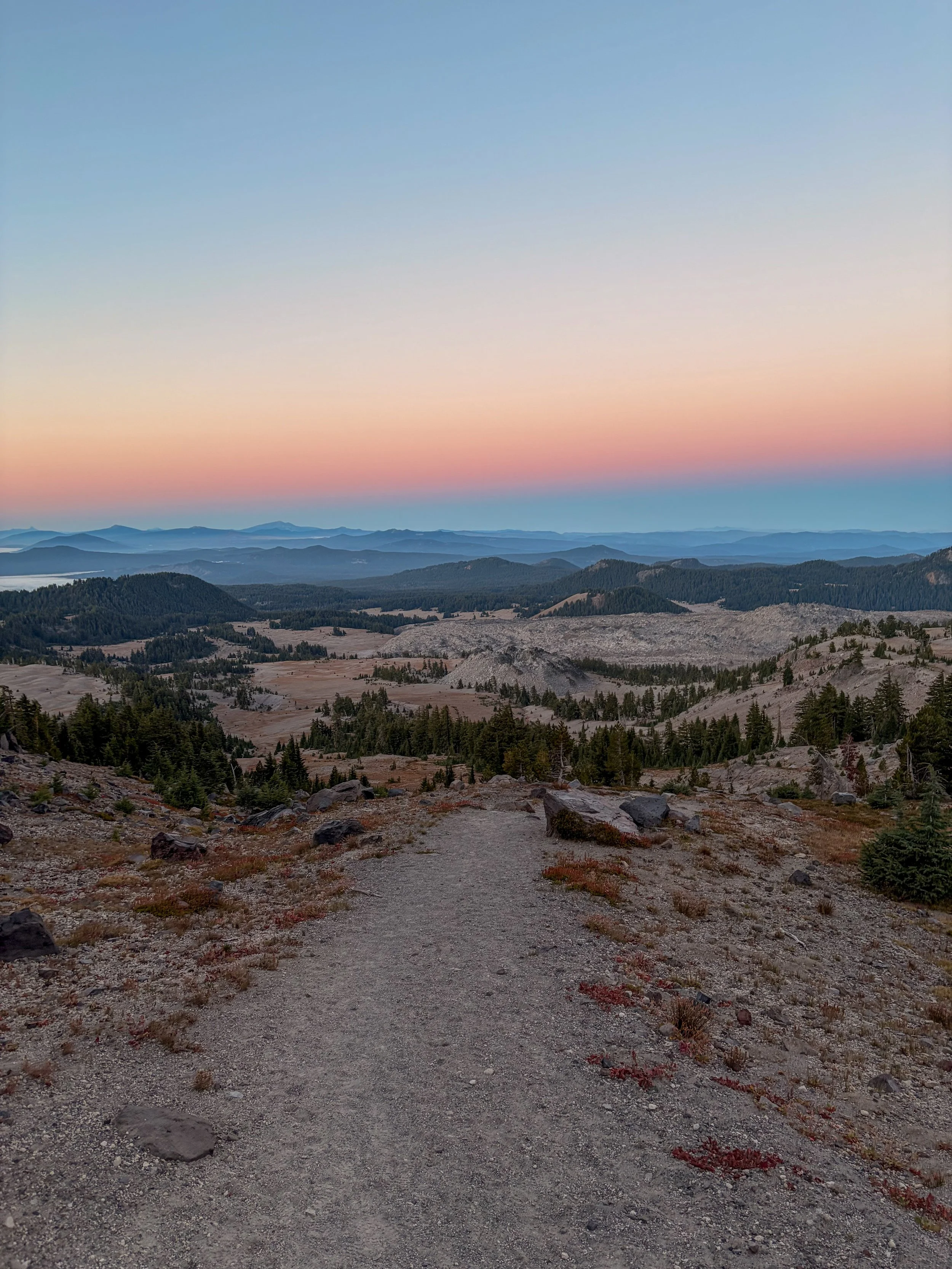
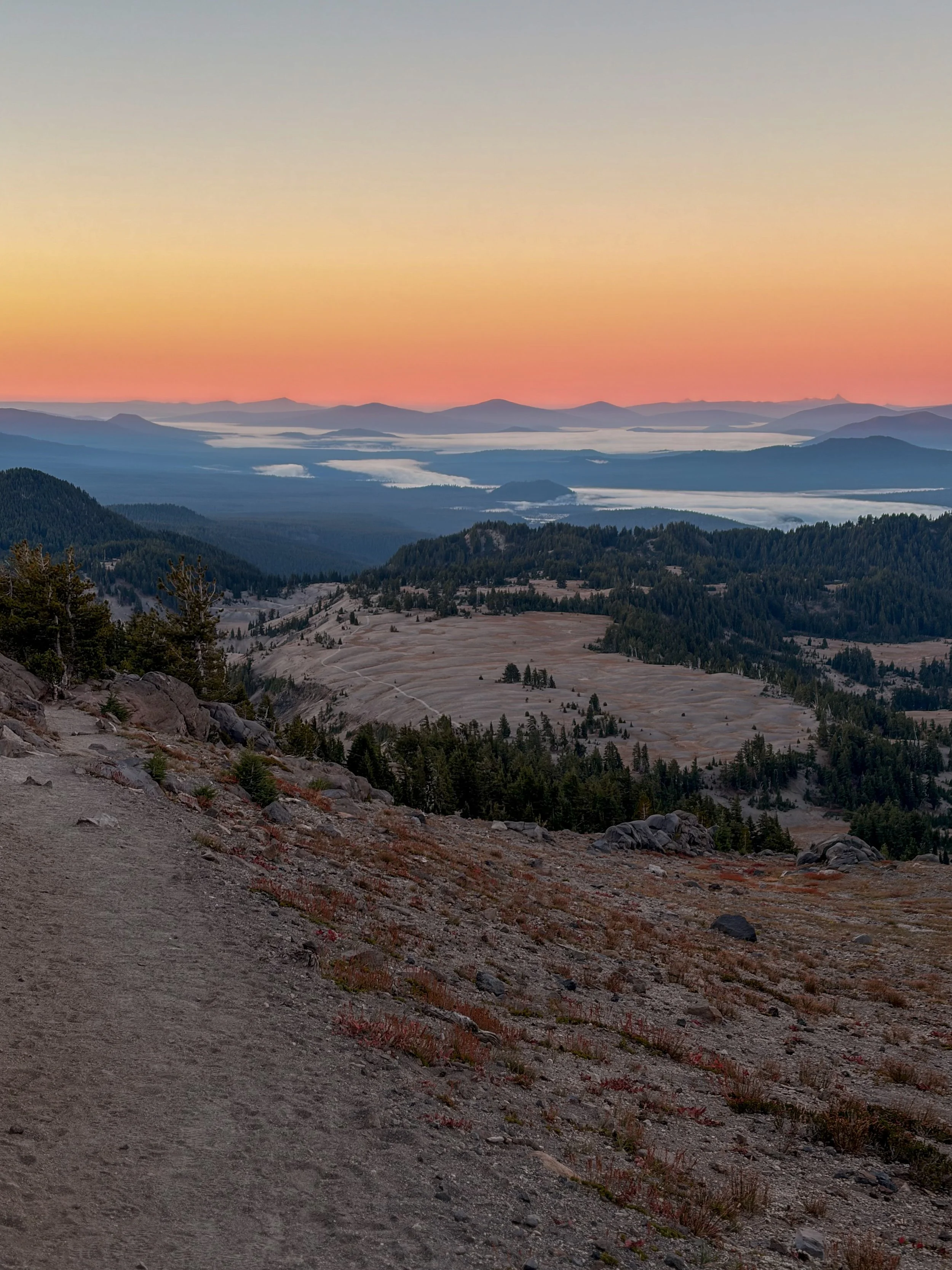
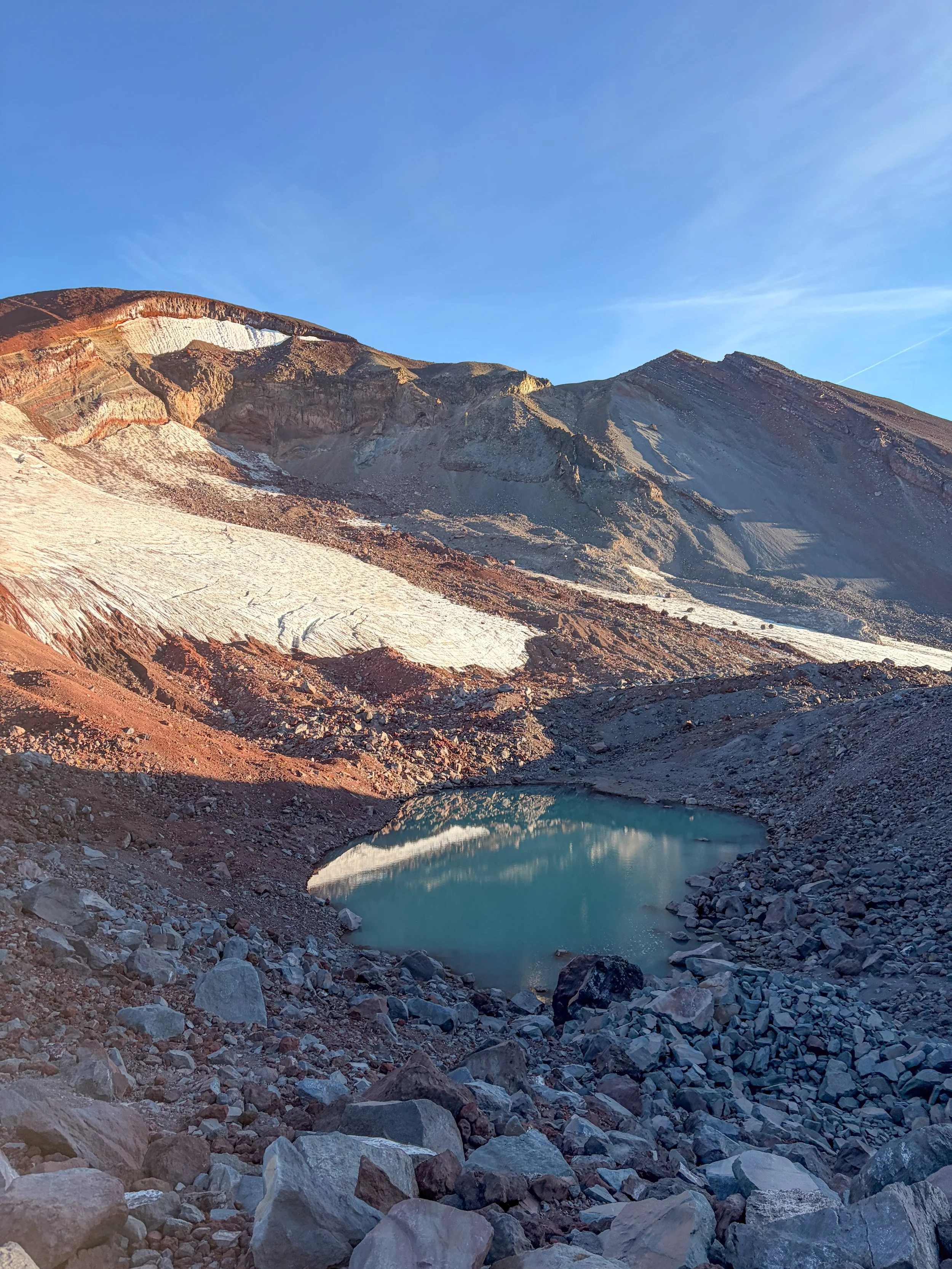
View of Moraine Lake from the South Sister Climber Trail as the sun crests the ridgeline.
South Sister is often called the easiest mountain in Oregon. Based on the peaks I’ve summited in the state so far (which is not that many), I’d agree with this sentiment. For a 10,000-footer that’s a Cascade volcano, the climb is very straightforward and very doable, even for beginner climbers.
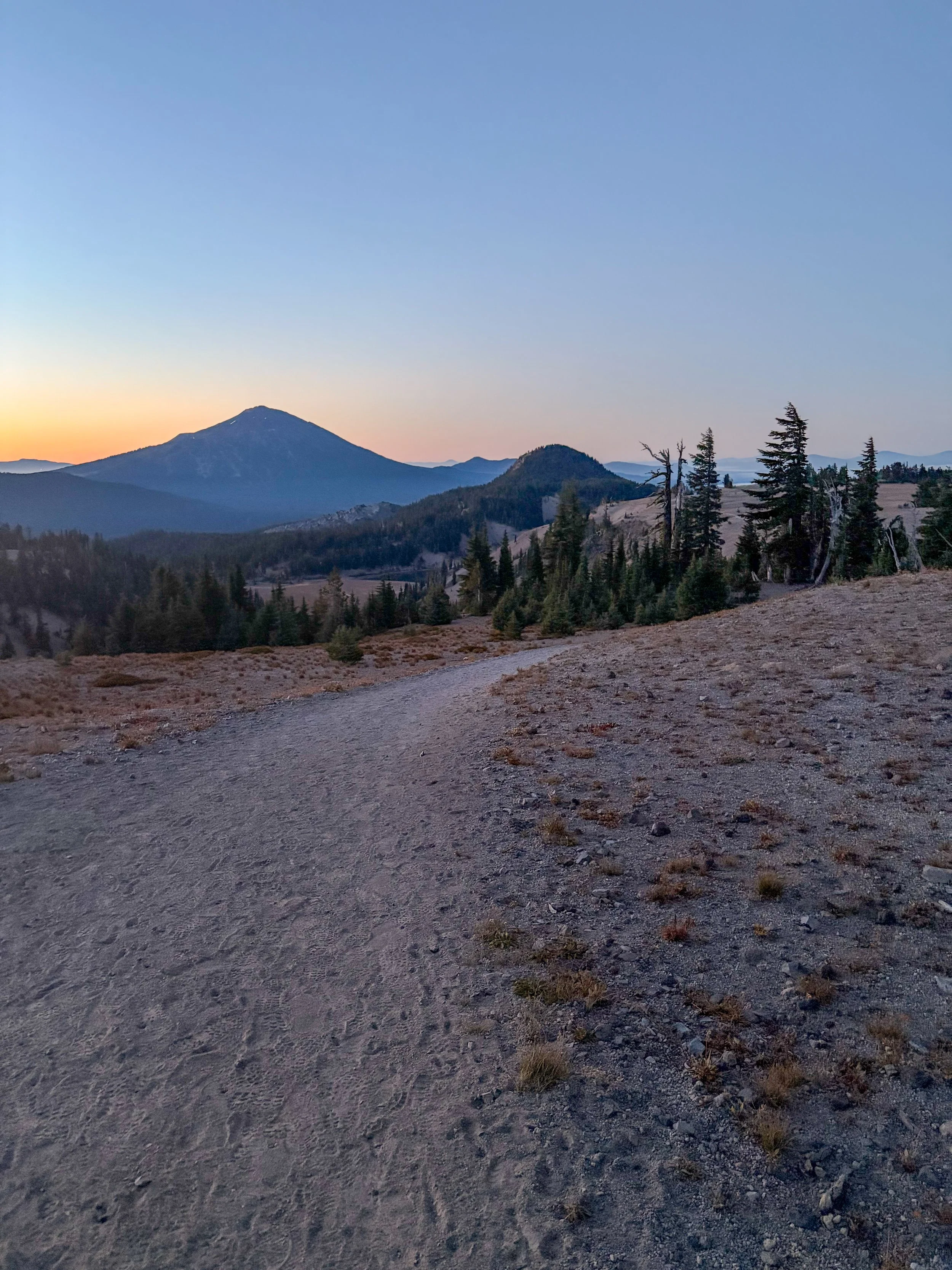
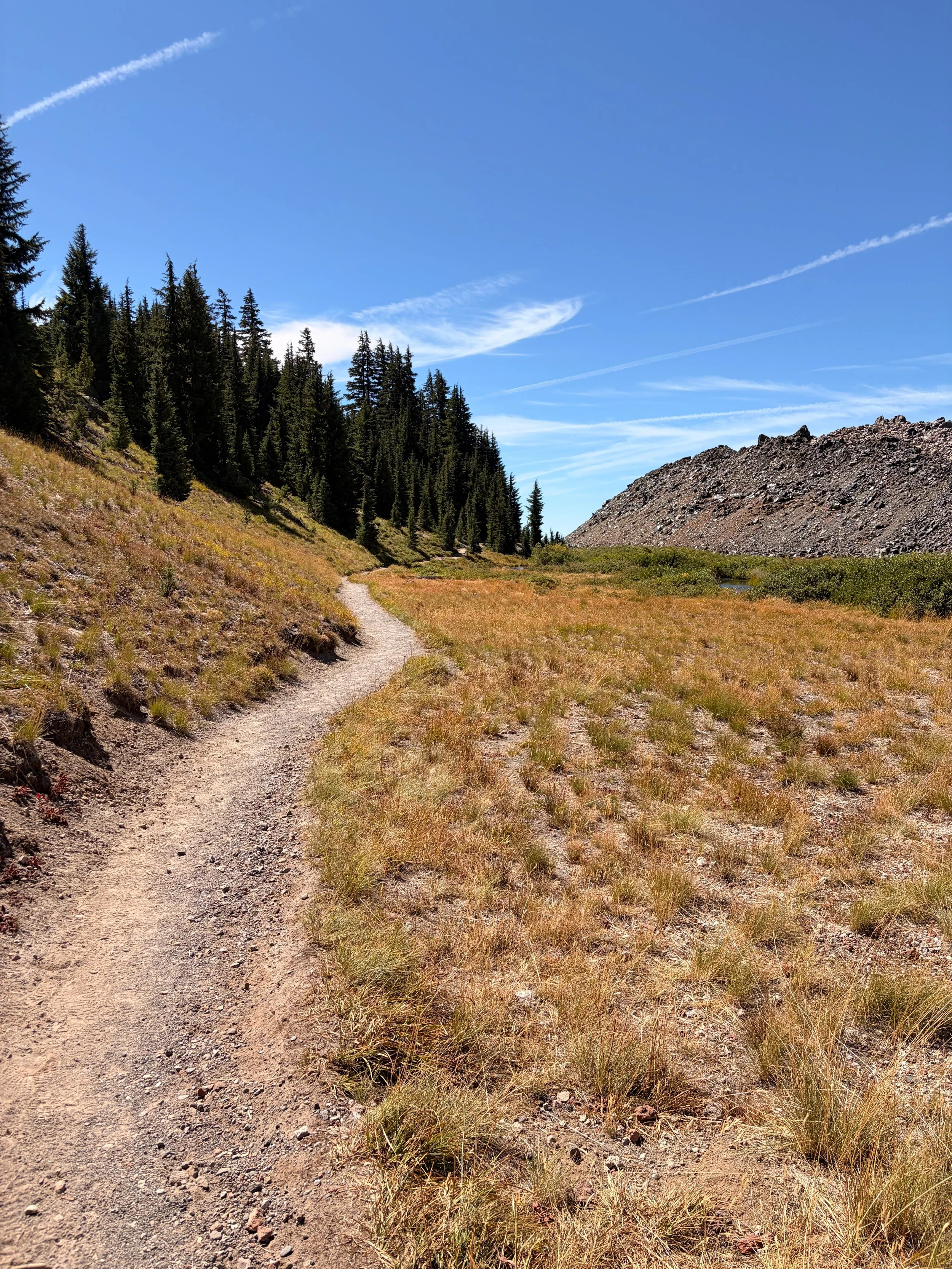
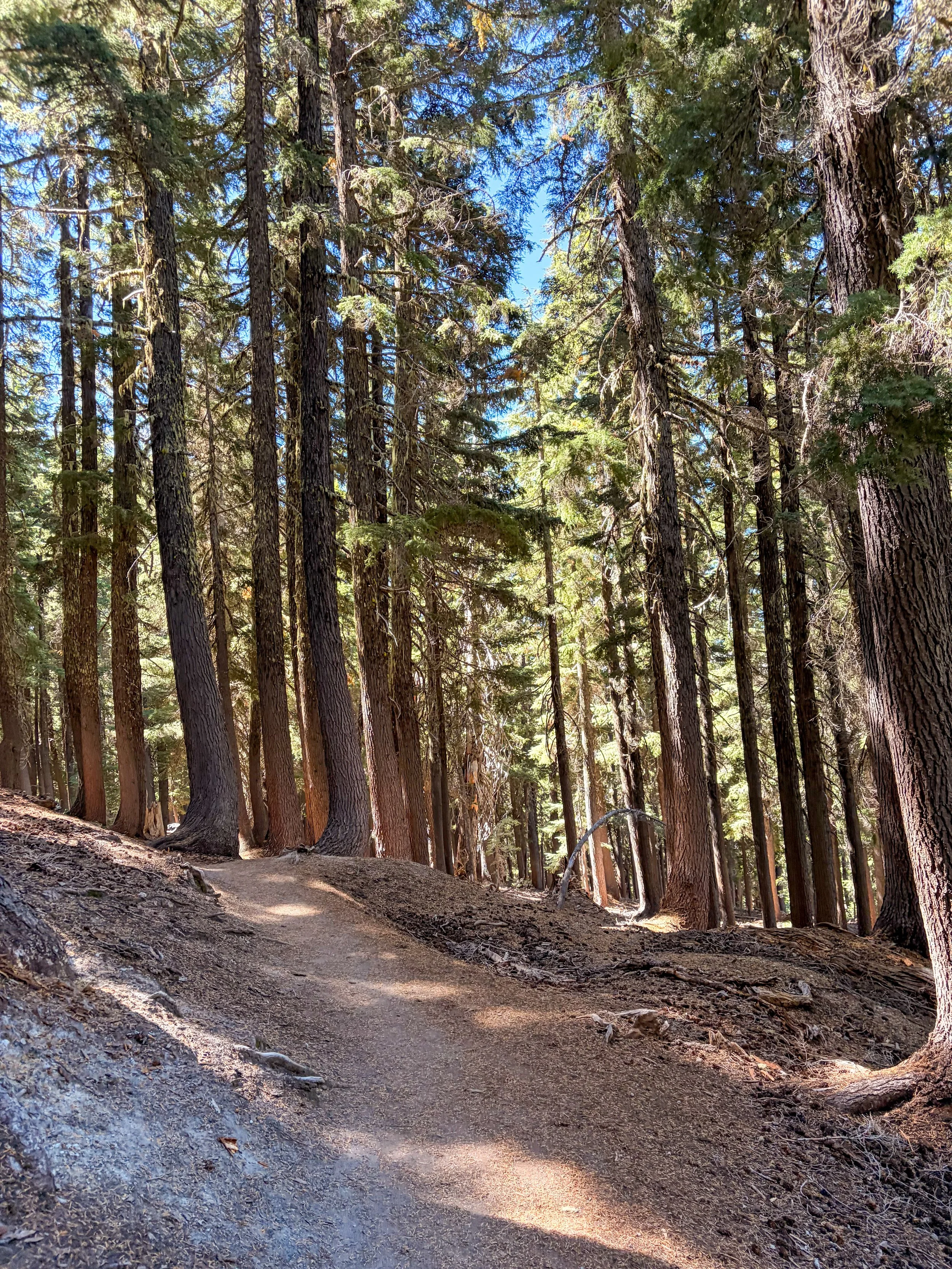
I started from the Devil’s Lake trailhead and very much enjoyed the approach. It climbs gently through the pine forest for a couple of miles before opening up to alpine meadows, where you get your first glimpses of the Cascade peaks and lakes. It’s like being in a bowl surrounded by mountains. I got a peek of Moraine Lake at blue hour, just before the sun crested the ridgeline.
This portion of the approach is mostly flat, and it’s fast-moving. Had I not overpacked my day pack, as usual, I might’ve ran this portion instead of hiking it. It’s that smooth!
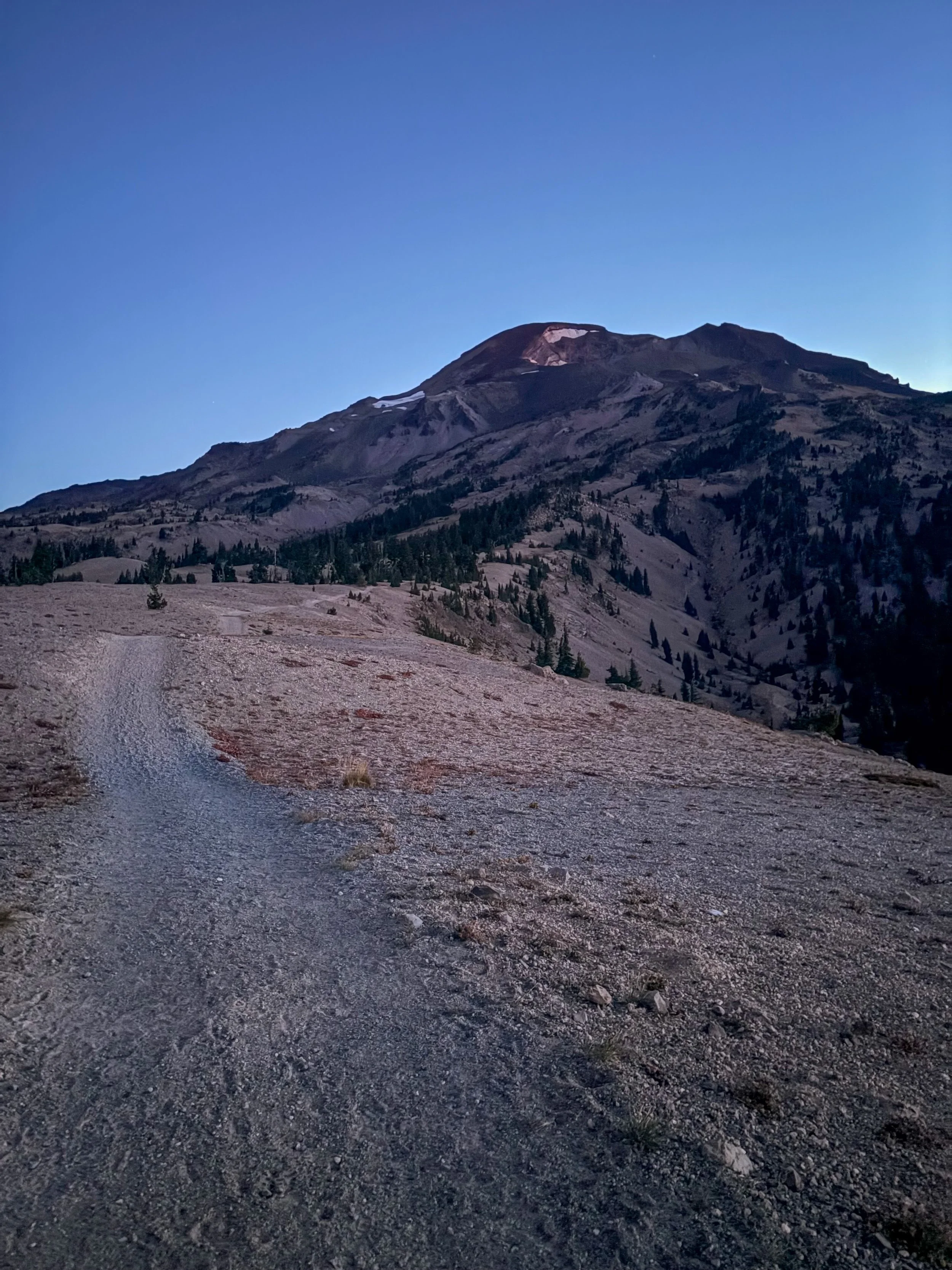
That soon changes when you reach the base of the mountain, however. Things get very steep, very fast, and the “trail” becomes a mixture of larger lava rocks and volcanic scree. This, unfortunately, continues in some fashion until you reach the crater rim.
It’s a bit of a slog (as I’m learning is the case on pretty much all Cascade volcanoes), but because this trail is so heavily trafficked, it’s not nearly as bad as some other Cascade peaks with similar terrain (like Diamond Peak).
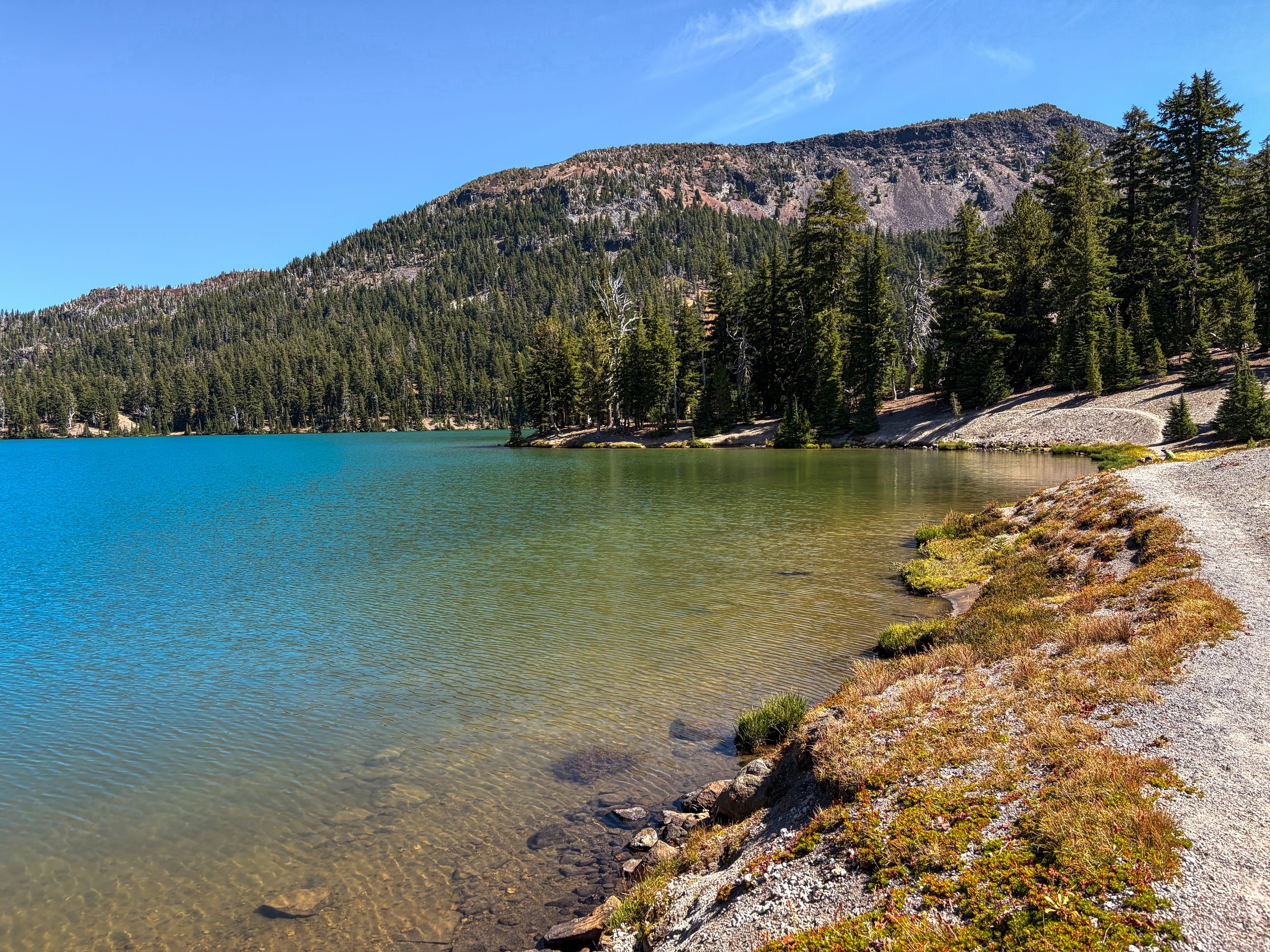
Green Lake from the shoreline.
There’s a semi well-trodden path through most of the slippery sections, making the ascent straightforward. In my opinion, it’s always nice not to have to stop and route-find every couple of minutes. I like to go-go-go.
I did lose my way on the ascent at some point, and found myself on larger lava boulders. This is incorrect. I should have stayed further left, and I would have kept on the trodden path of smaller lava rocks. But the terrain was mild, and I didn’t feel there was any exposure risk.
When I finally crested the crater rim (the last two miles of the ascent took me about 90 minutes), I was happy to be on relatively flat ground. I took the rim counterclockwise as it looked like the faster way to reach the summit, though I’m not entirely sure it is.
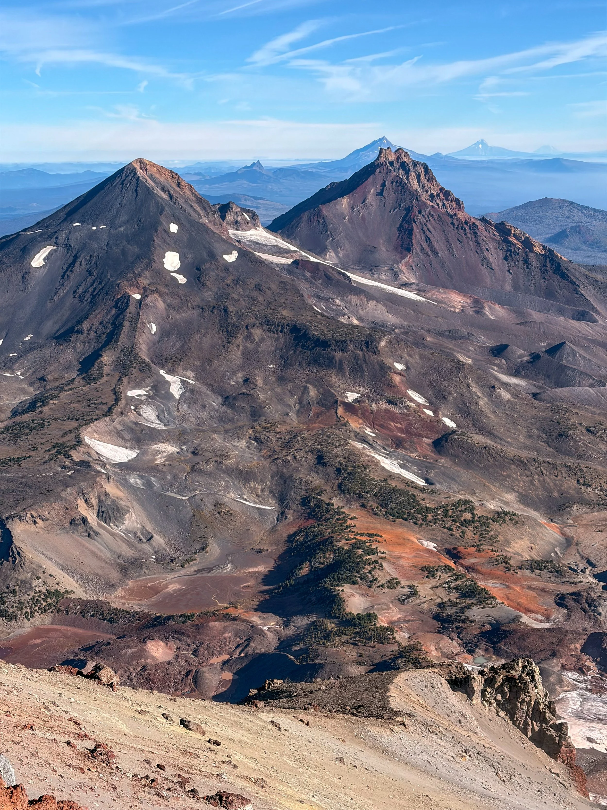
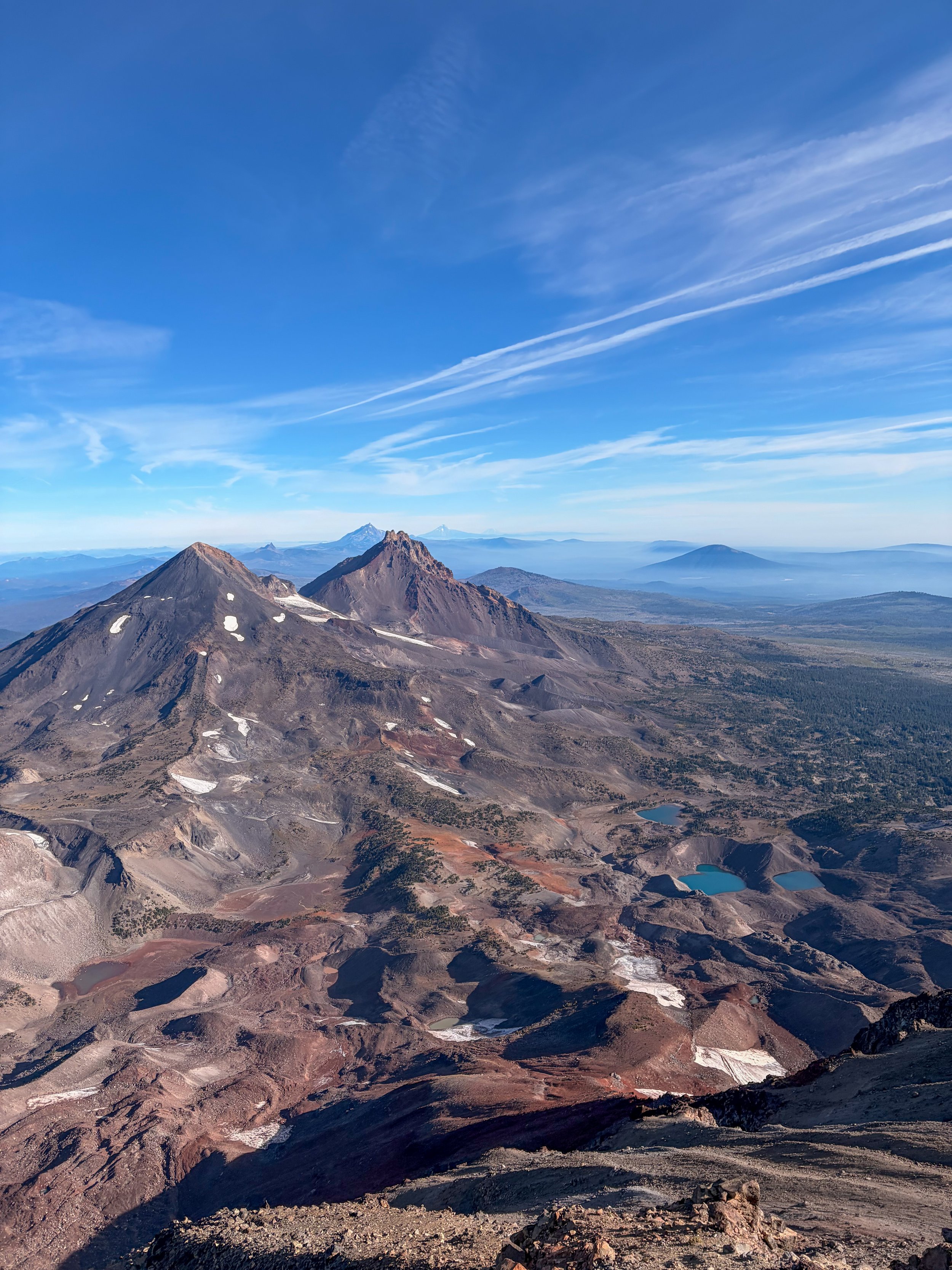
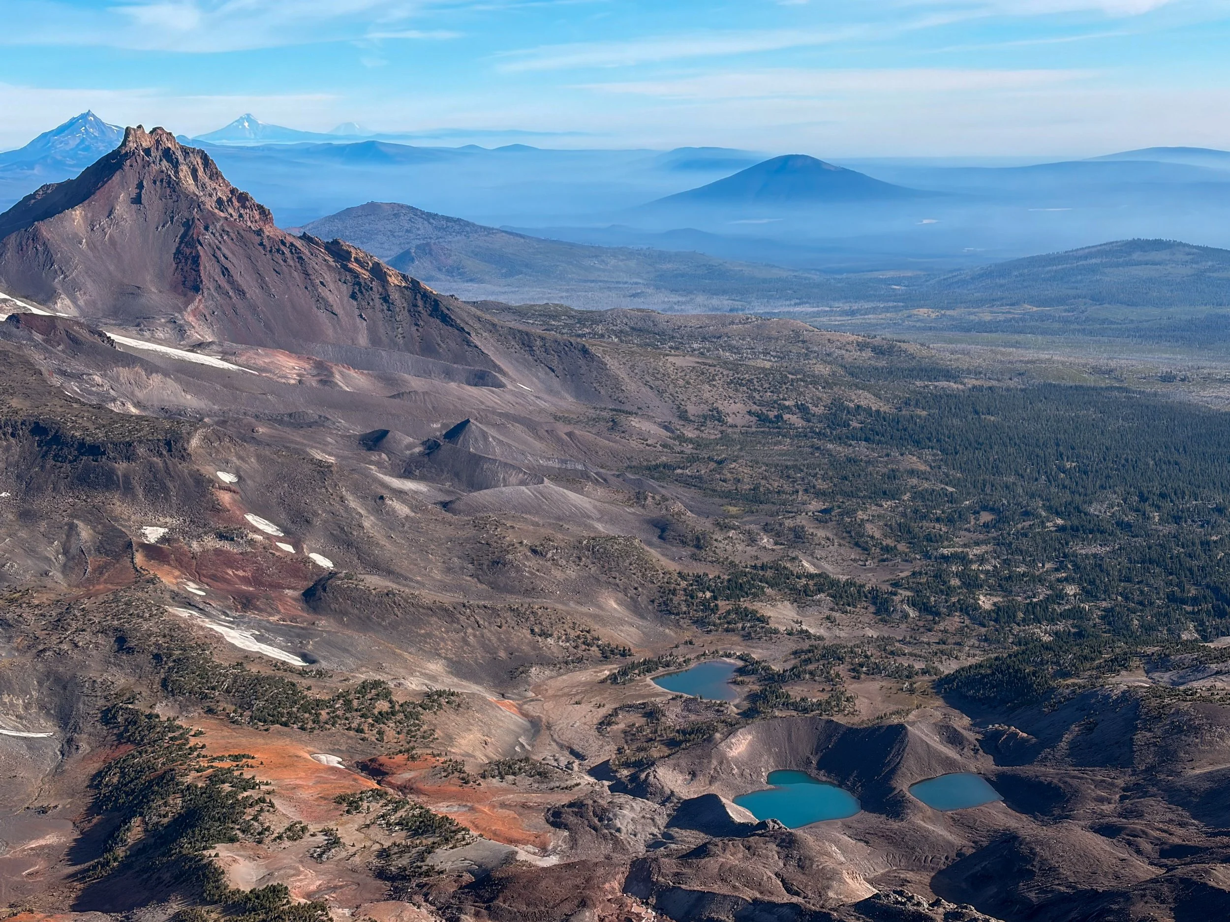
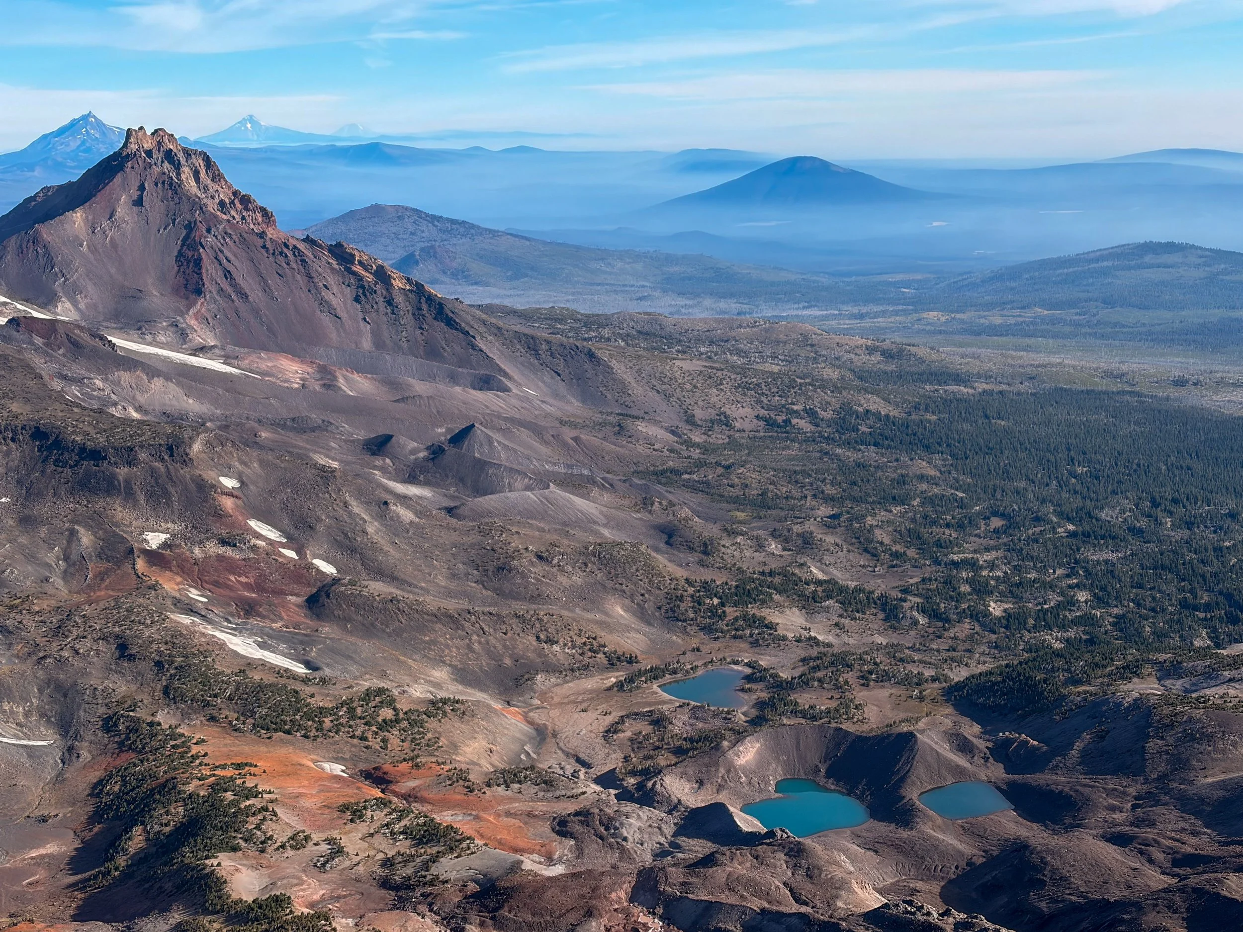
I was lucky to experience near-still air — just a light breeze — and perfectly clear skies. I could see all the way to Mount Adams, though the more commanding view was of Middle and North Sisters; they appeared so close they looked almost touchable.
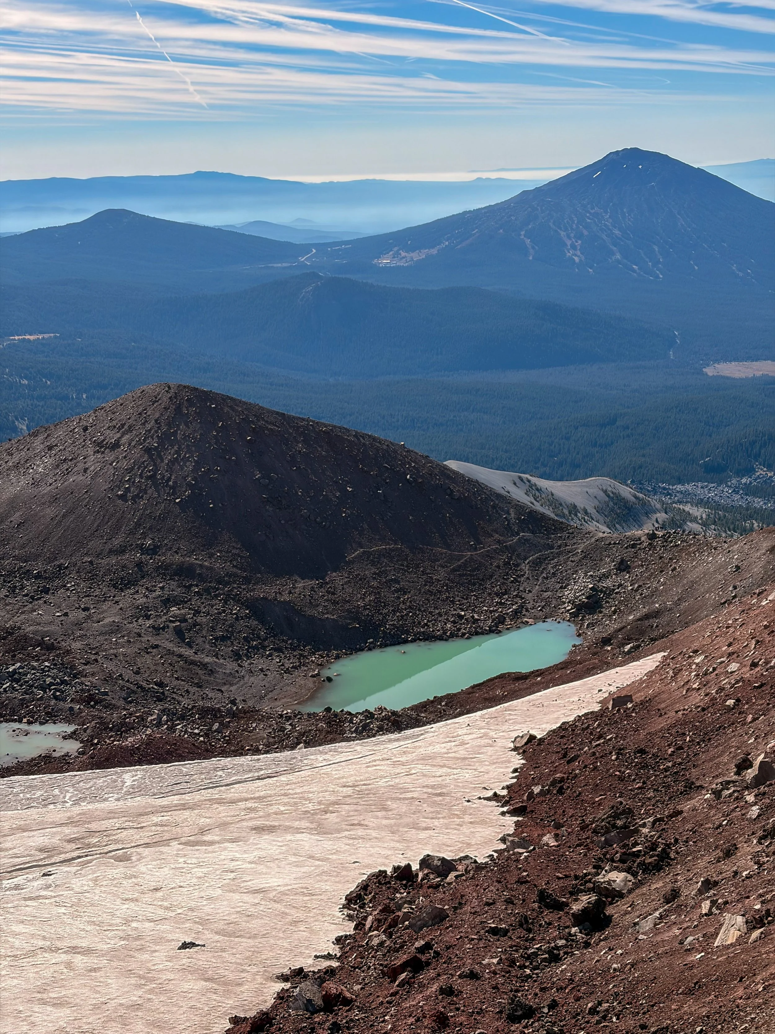
After enjoying some snacks and a canned coffee, I continued counterclockwise around the crater rim loop. Again I lost the path. I took a footpath to the left of the rim ridge, which turned out to be incorrect as it dumped me into the crater itself. I had to stash my trekking poles in my pack and climb, hands and feet, up the edge of the icepack in the crater. Stay right if going counterclockwise after the summit.
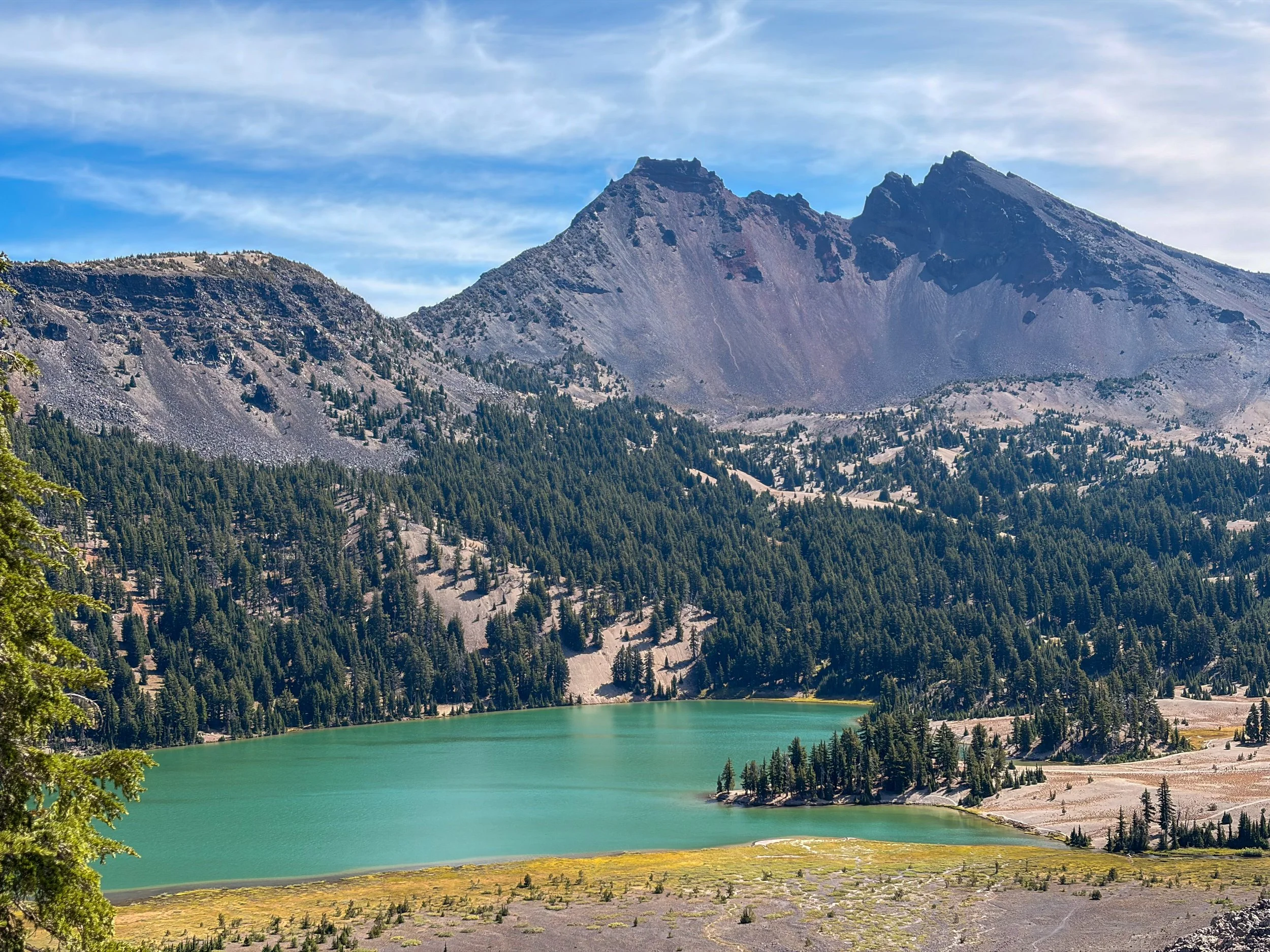
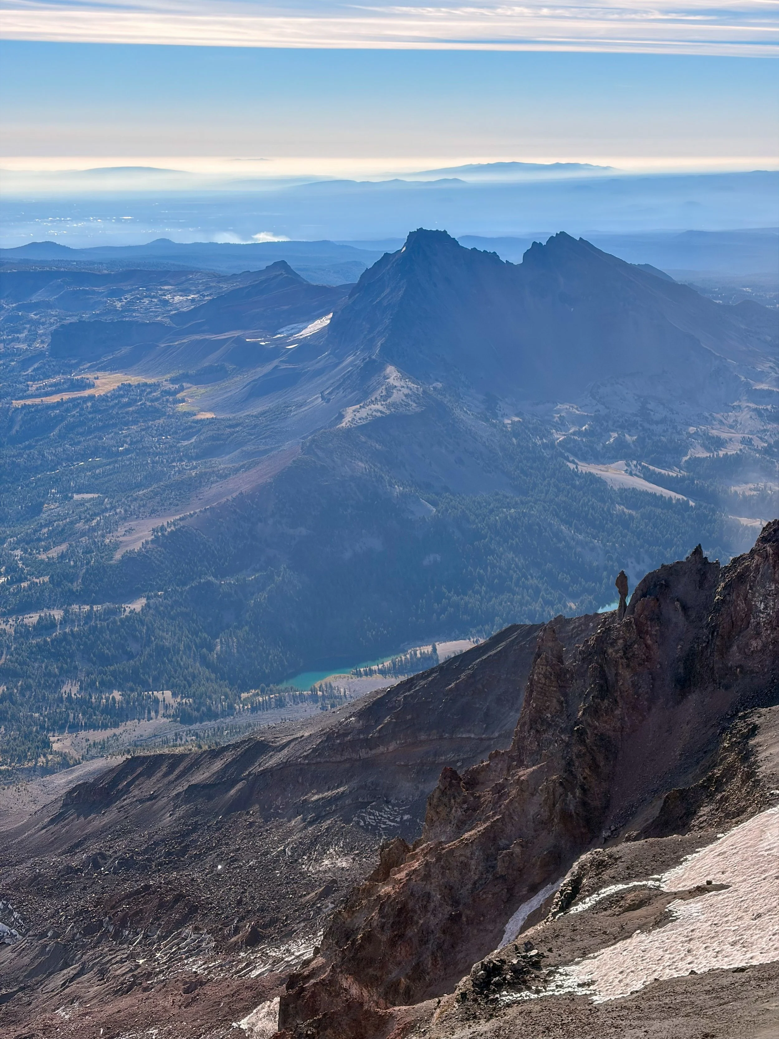
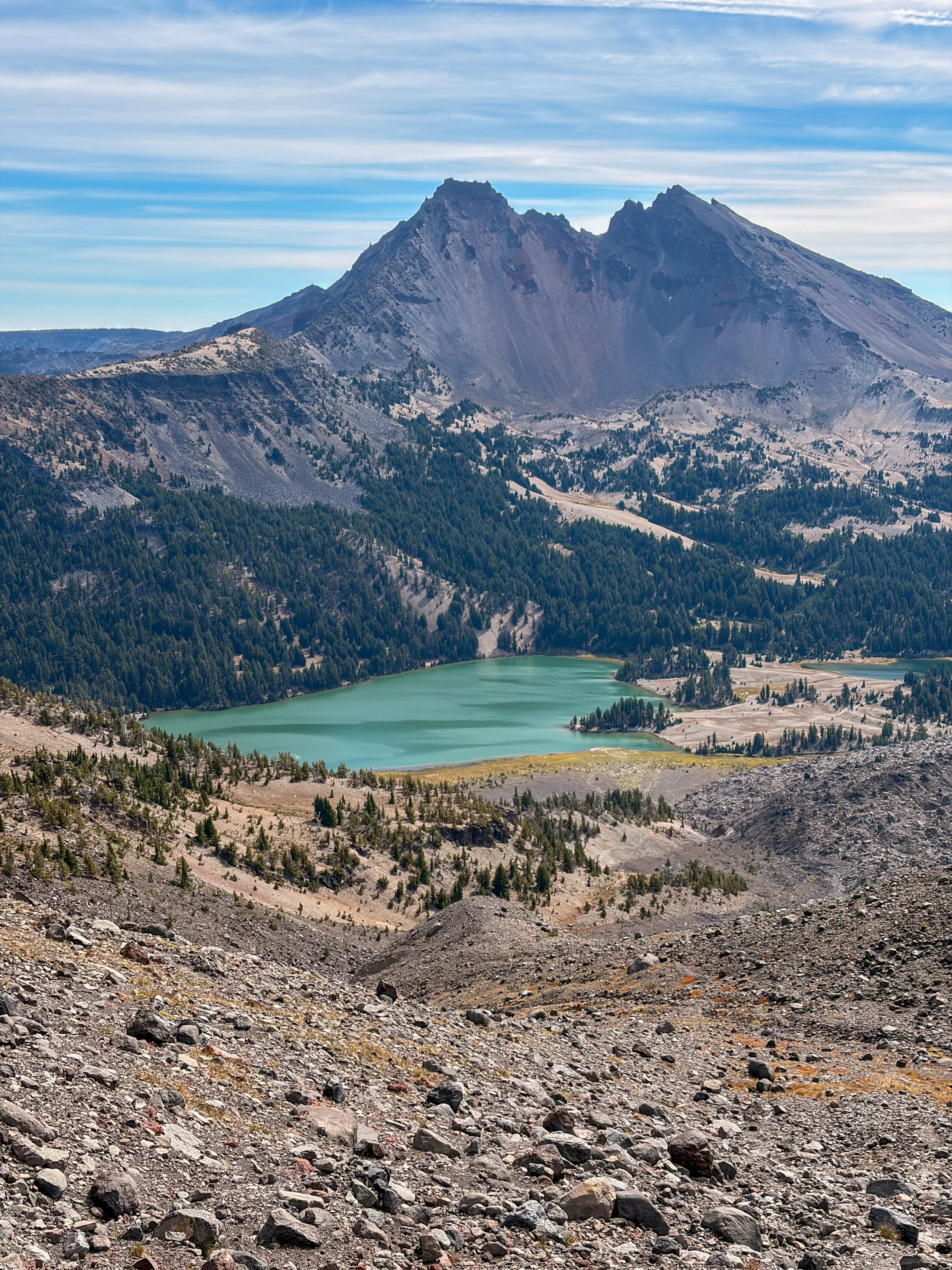
Green Lake and Broken Top from the connector route between Green Lakes and South Sister.
The descent was uneventful until I decided at the last minute to take the (unofficial) connector trail to Green Lakes, instead of returning the way I’d come. I had enough food and water, and my legs felt good, so I decided to go see some more stuff.
The “trail” connecting the Lewis Tarn and Green Lakes is more of a rock field than a trail. It’s much steeper than the official ascent route to South Sister’s summit, and the path is not clear, though there are cairns to help with navigation.
What redeems this route is the commanding view of Broken Top. Not that you can look at it much if you don’t want to fall.
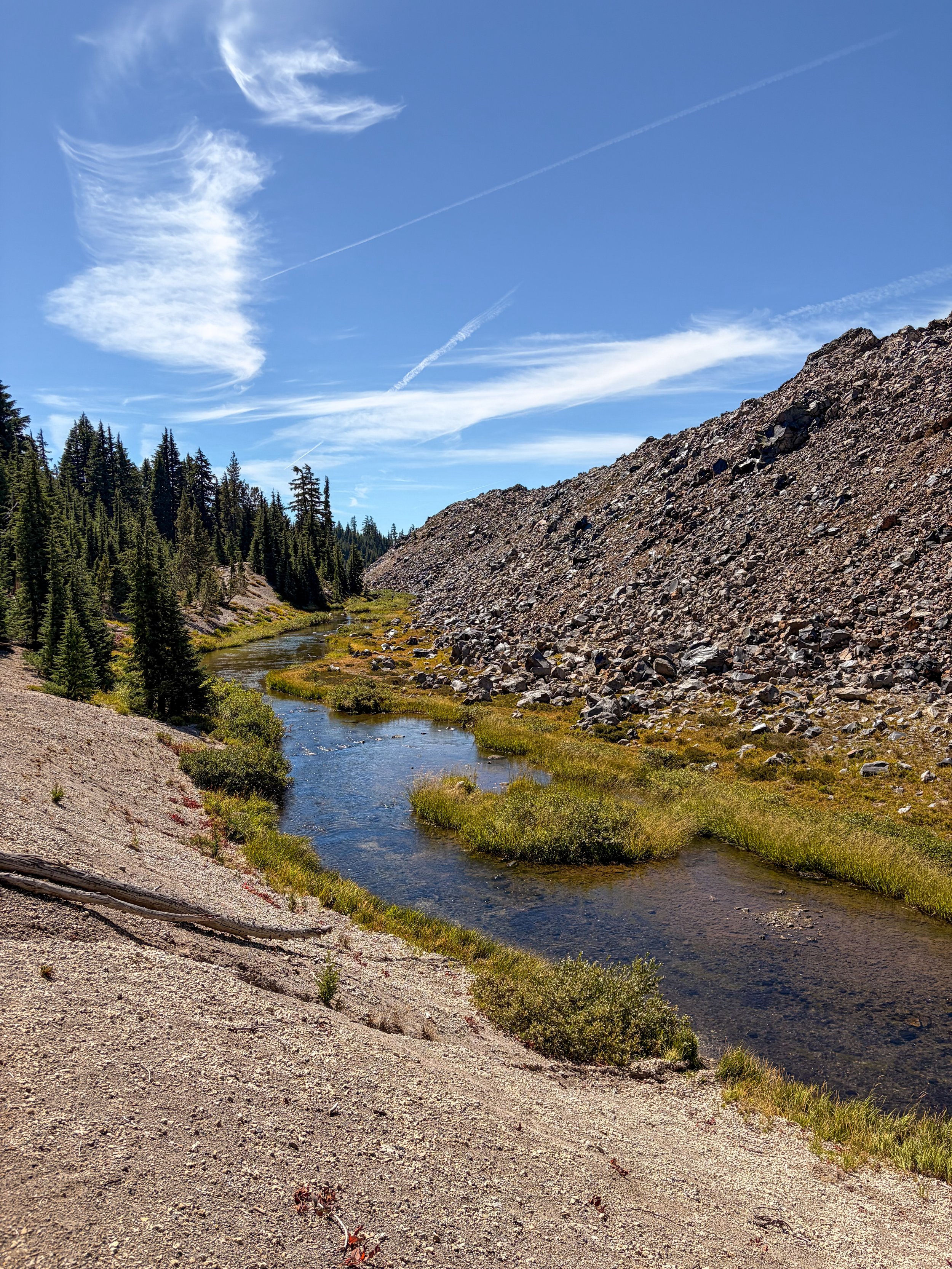
Eventually (after three slips and a lot of curse words, in my case) this route spits you out in a marshy area near Green Lakes. From here, the way out to Cascade Lakes Highway is easy and fast-moving, much like the approach to South Sister from Devil’s Lake.
I had originally planned to drop down to Moraine Lake, looping back to the South Sister Climber Trail. But I was tiring quickly, so I decided to take Green Lakes Trail all the way to the trailhead and walk the couple of easy miles on Cascade Lakes Scenic Byway between the two trailheads to reach my vehicle.
Luck was in my favor, because I stopped to chat with two women who ultimately offered to drive me from Green Lakes Trailhead to Devil’s Lake Trailhead.
That meant I didn’t quite make a loop, but it did save me an hour or so on tired feet.