Climbing Diamond Peak, Oregon (08/23/2026)
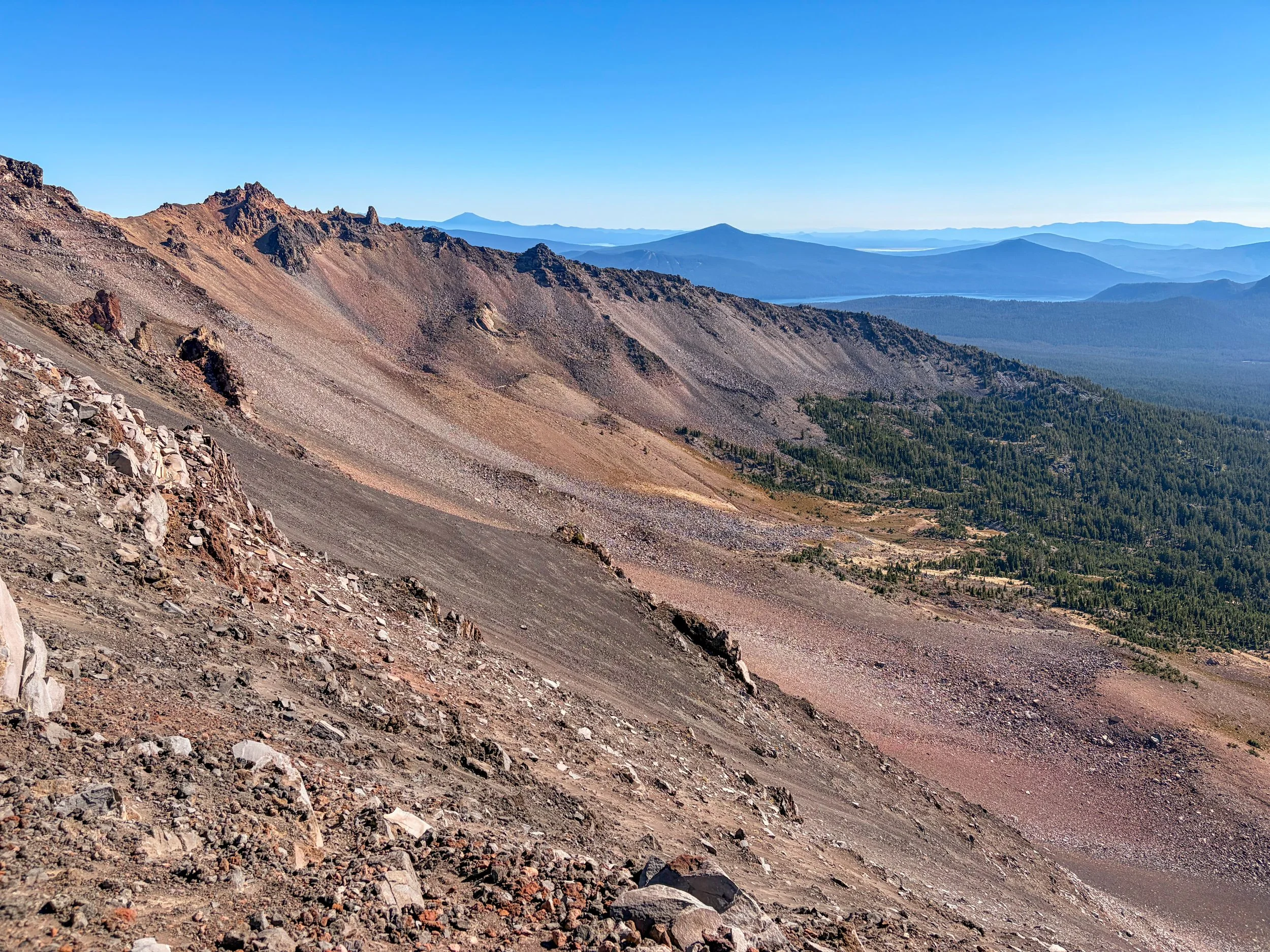
Diamond Peak Trip Report, August 2026
Key Info
Trailhead: Rockpile Trail (#3632). There are others ways to access Diamond Peak, including Pioneer Gulch (#3630), the Pacific Crest Trail, and Snell Lake Trail (#3843), though Rockpile appears the most direct.
Class: 3 (hand/foot scrambling, extended sections of deep scree, minor exposure on the ridge)
Ropes: Not needed
Helmets: Not needed
Trailhead Camping: Yes (4x4/high-clearance recommended)
Fee: Yes, you’ll need a Northwest Forest Pass to park near or at the trailhead
Permit: Yes, self-issue permit at trailhead
Mileage: 12.8 miles (20.6 kilometers) round-trip
Elevation gain: 4,282 feet (1,305 meters) round-trip
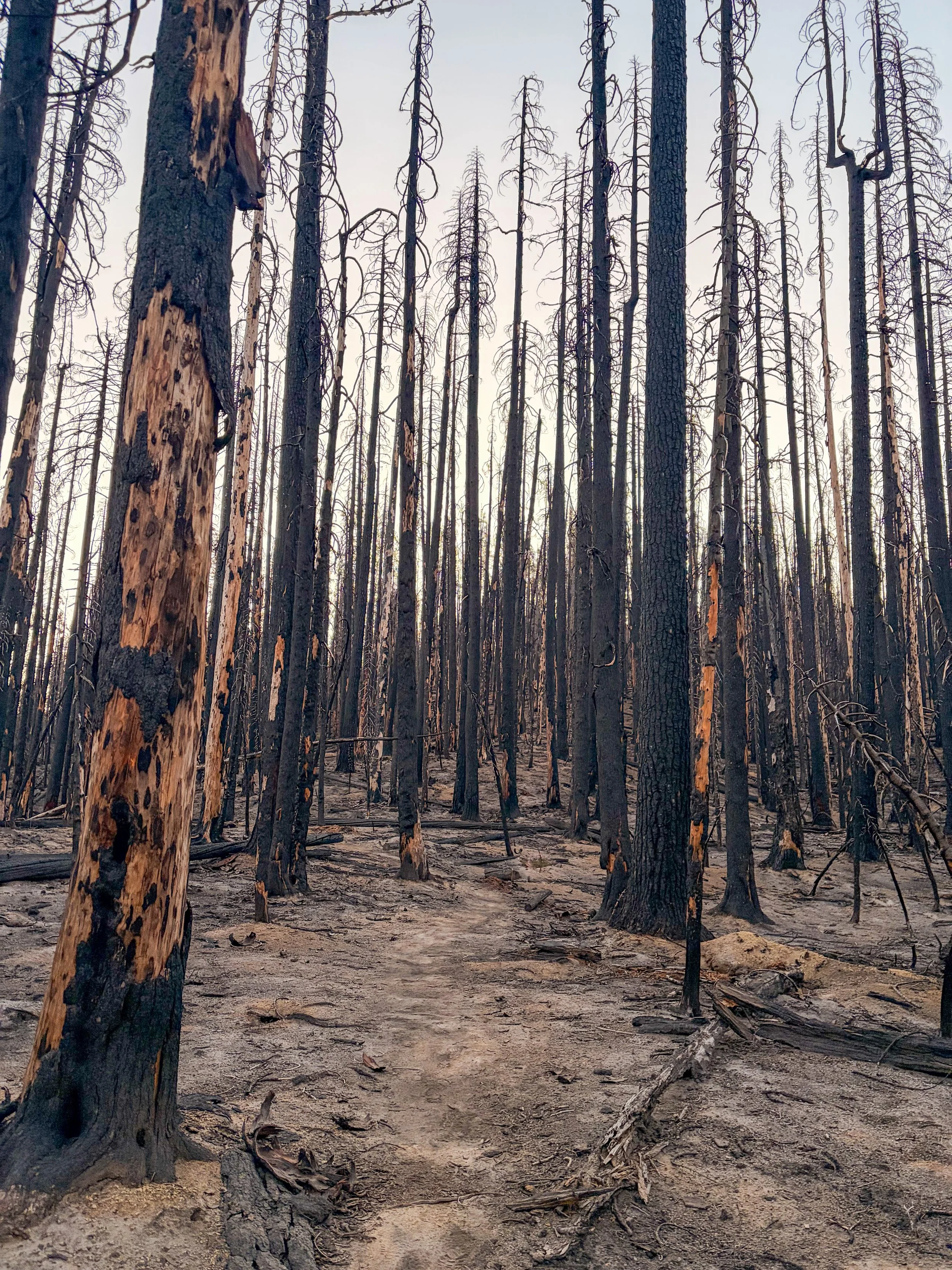
Beginning from the Rockpile Trailhead (National Forest Service Trail No. 3632), there are three distinct sections of this route to Diamond Peak: the burn scar, the forest, and the scramble.
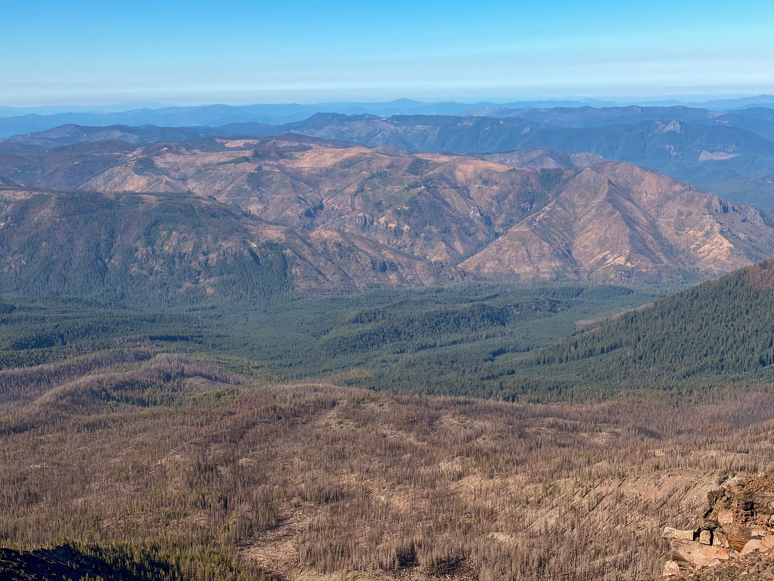
To summit Diamond Peak (Diamond Peak Wilderness, Central Oregon), you’ll first trudge through about a mile and a quarter of an old burn scar. The ground is a mix of ash and sand, and when I returned this way after summiting, it was be brutally hot (the burned trees offer no shade). Luckily, the elevation change is minimal during this section, minimizing the suffering.
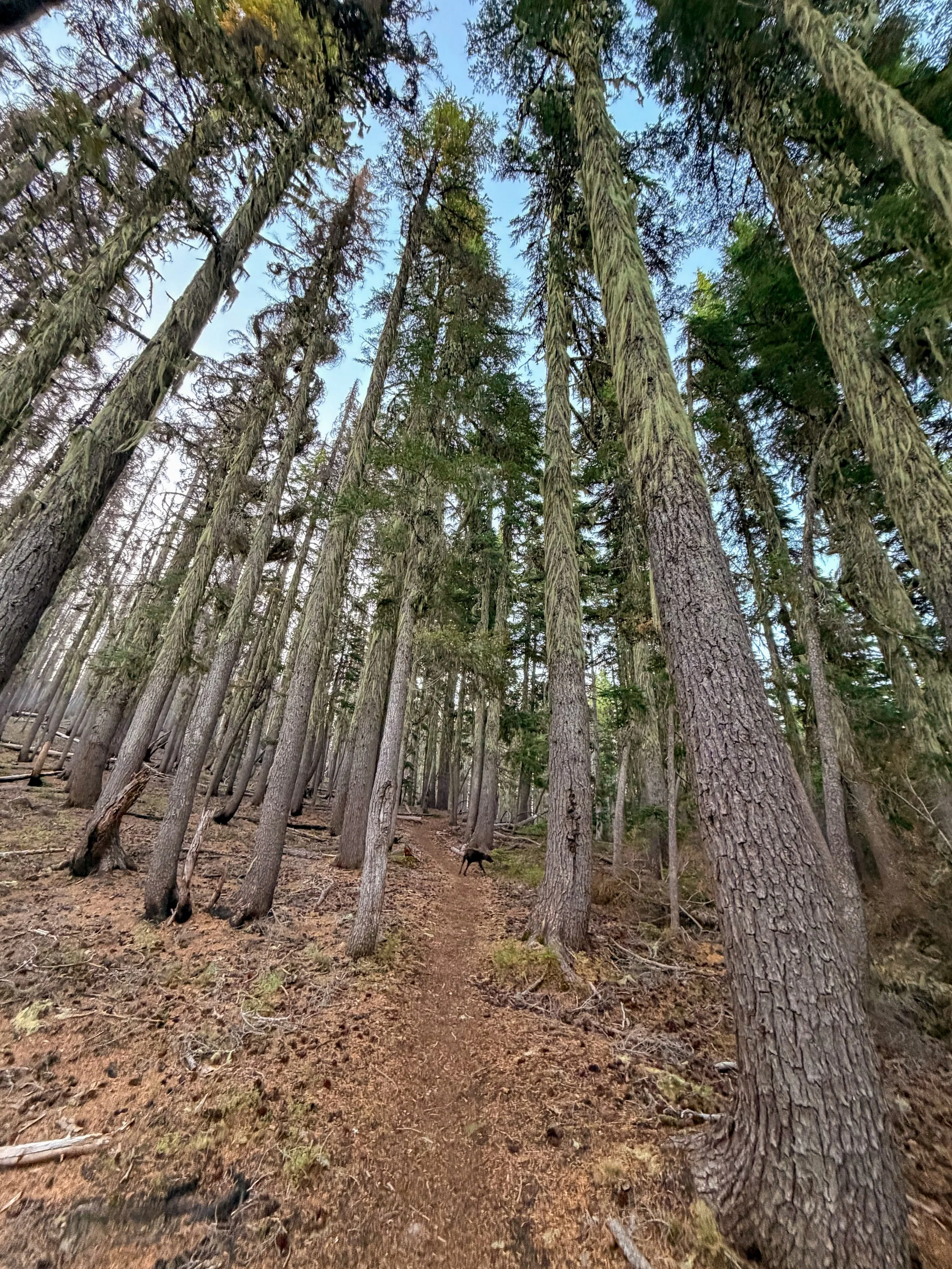
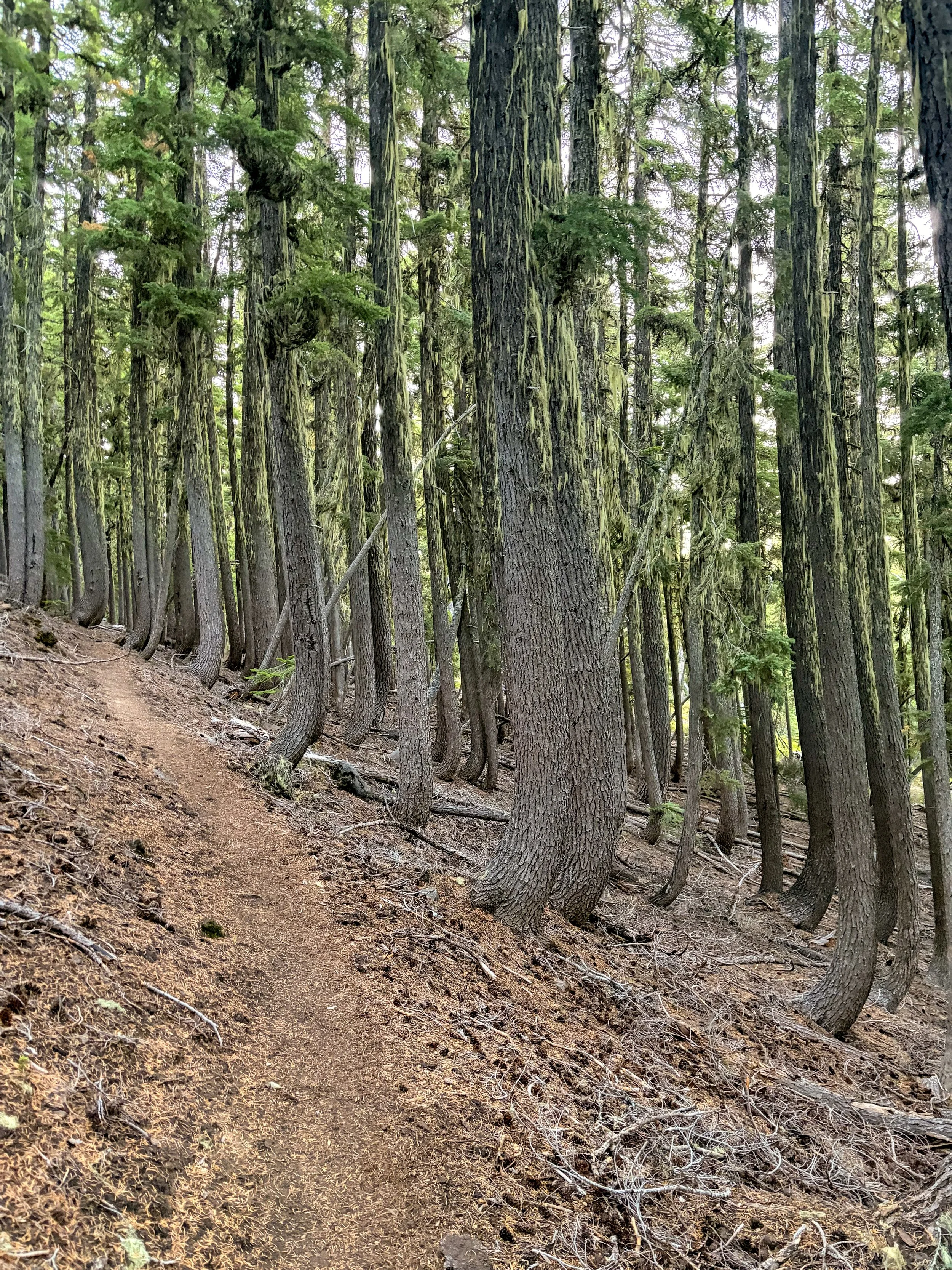
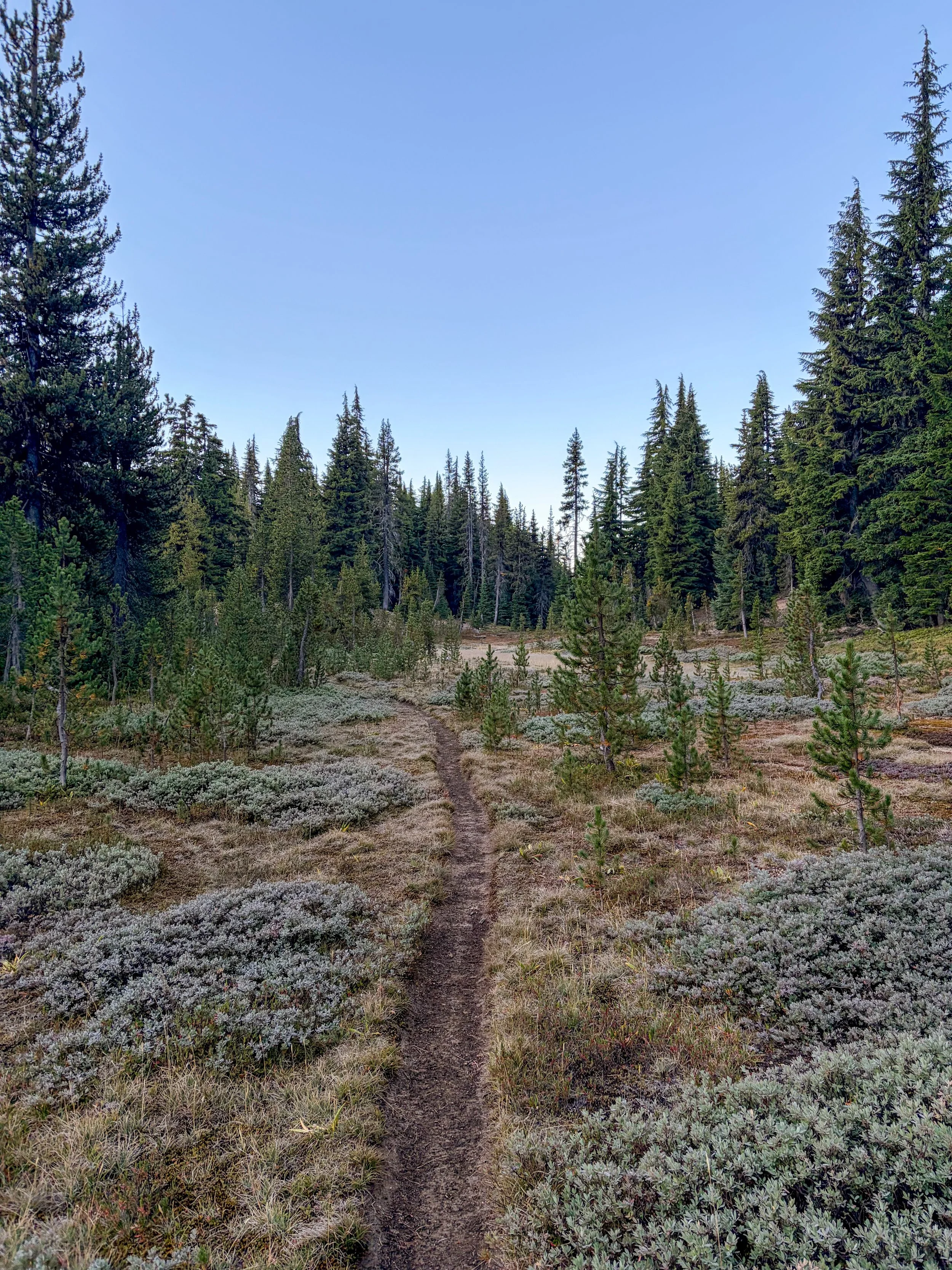
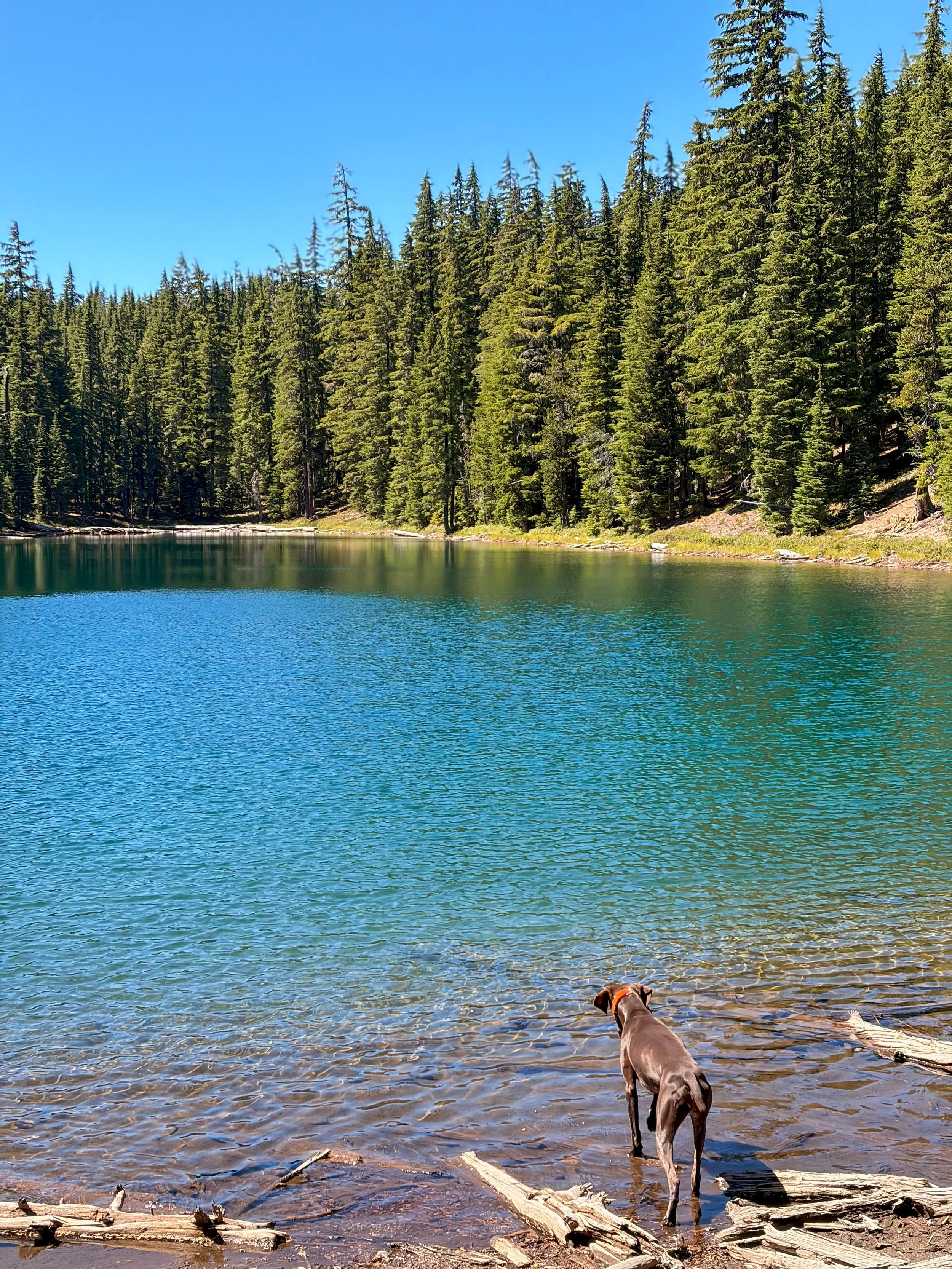
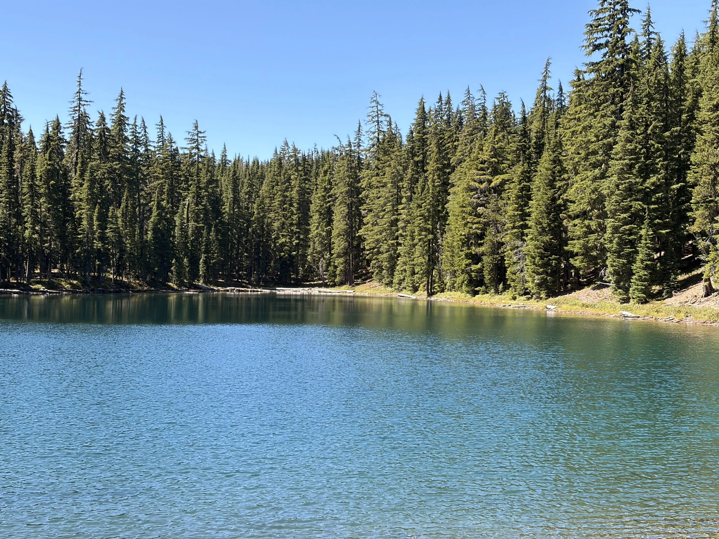
The burn scar gradually transitions into a pine forest that gets progressively more lush as you keep on. This section was nice and rolling with a long, gradual descent leading to an alpine meadow where you can opt to visit Marie and/or Rockpile Lakes. I visited Rockpile on the way back and think it’s worth the 0.2-mile detour, even on tired post-summit feet. The water is a striking green-blue!
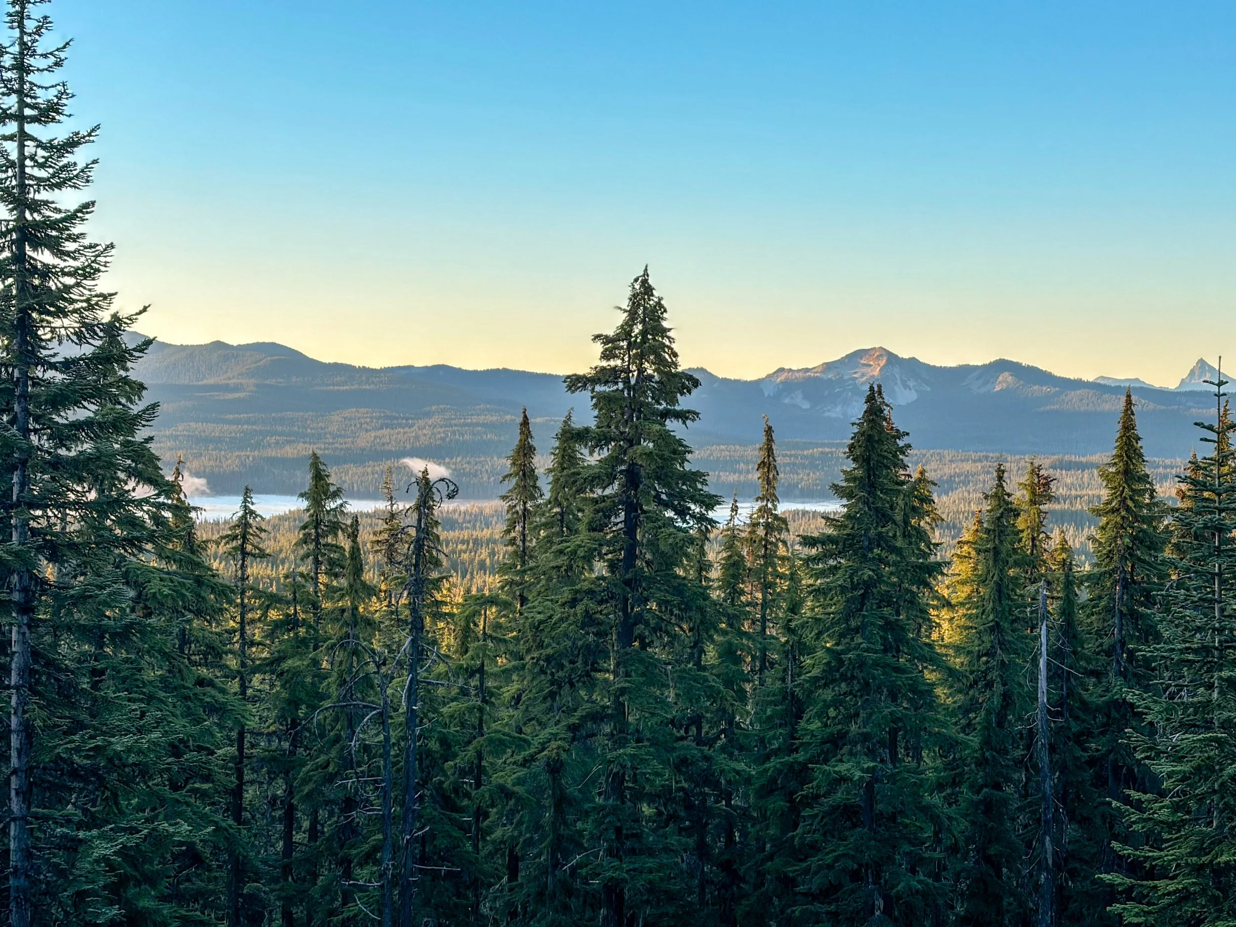
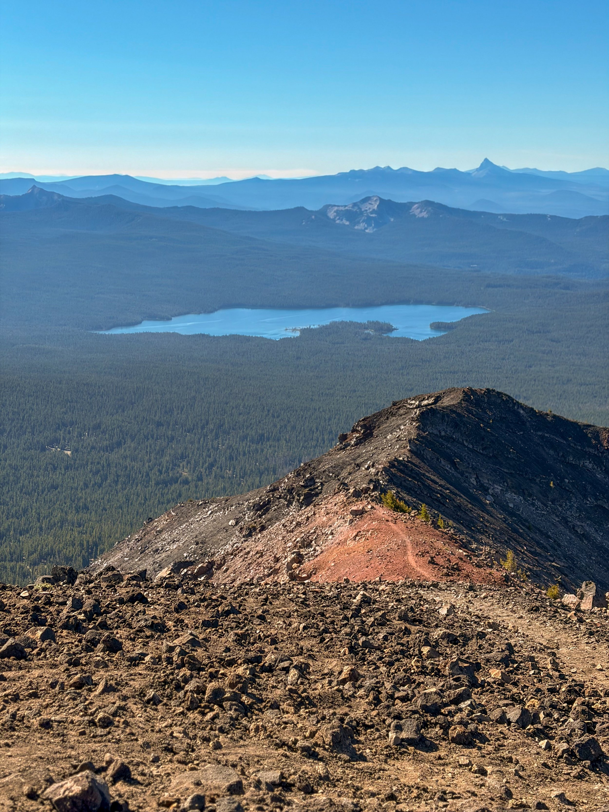
After a brief stint in the meadow, you’ll again climb gradually through the forest, until you reach a viewpoint that looks out over Summit Lake. This is where things get interesting!
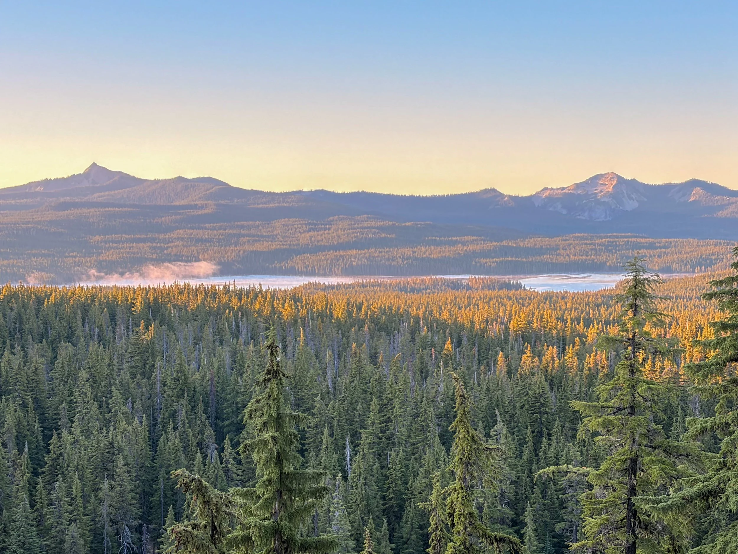
A view of several Cascades peaks (Mt. Thielsen to the left) from Rockpile Trail headed to Diamond Peak.
Note: There are many junctions on the Rockpile Trail, all marked, except the one just beyond the viewpoint. Turn left; do not continue straight or you will find yourself off the route, instead walking along the Pacific Crest Trail northward.
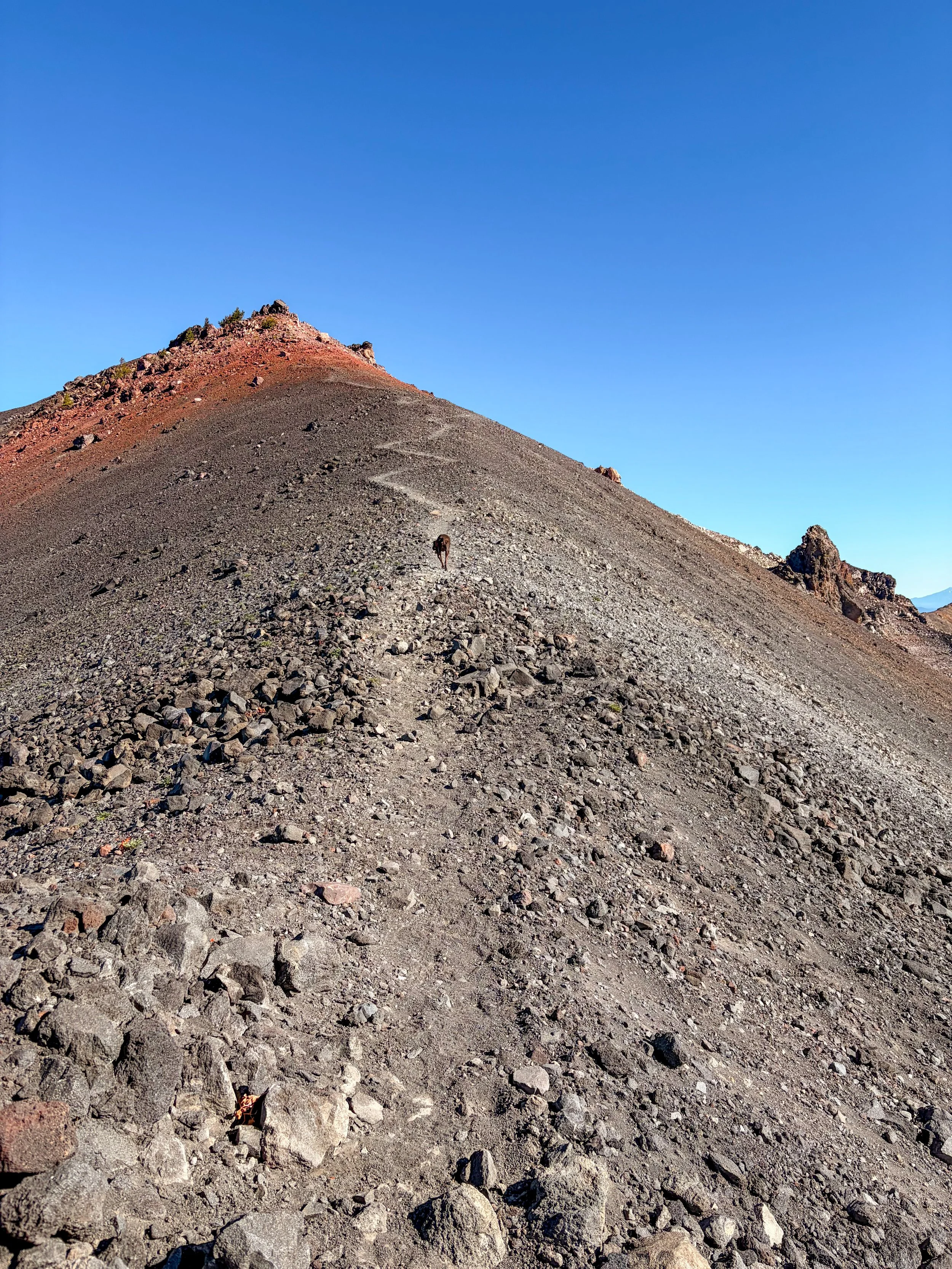
Pretty much as soon as you leave the viewpoint, you’re climbing steeply. The terrain changes from a sandy forest floor to volcanic scree pretty quickly, and before you know it, you’re navigating through alternating sections of lava rock boulders and very (VERY) slippery sediment.
While the boulder sections weren’t too bad, I found the scree to be incredibly annoying. I forgot my hiking poles, so it was a one-step-forward, two-steps-backward battle.
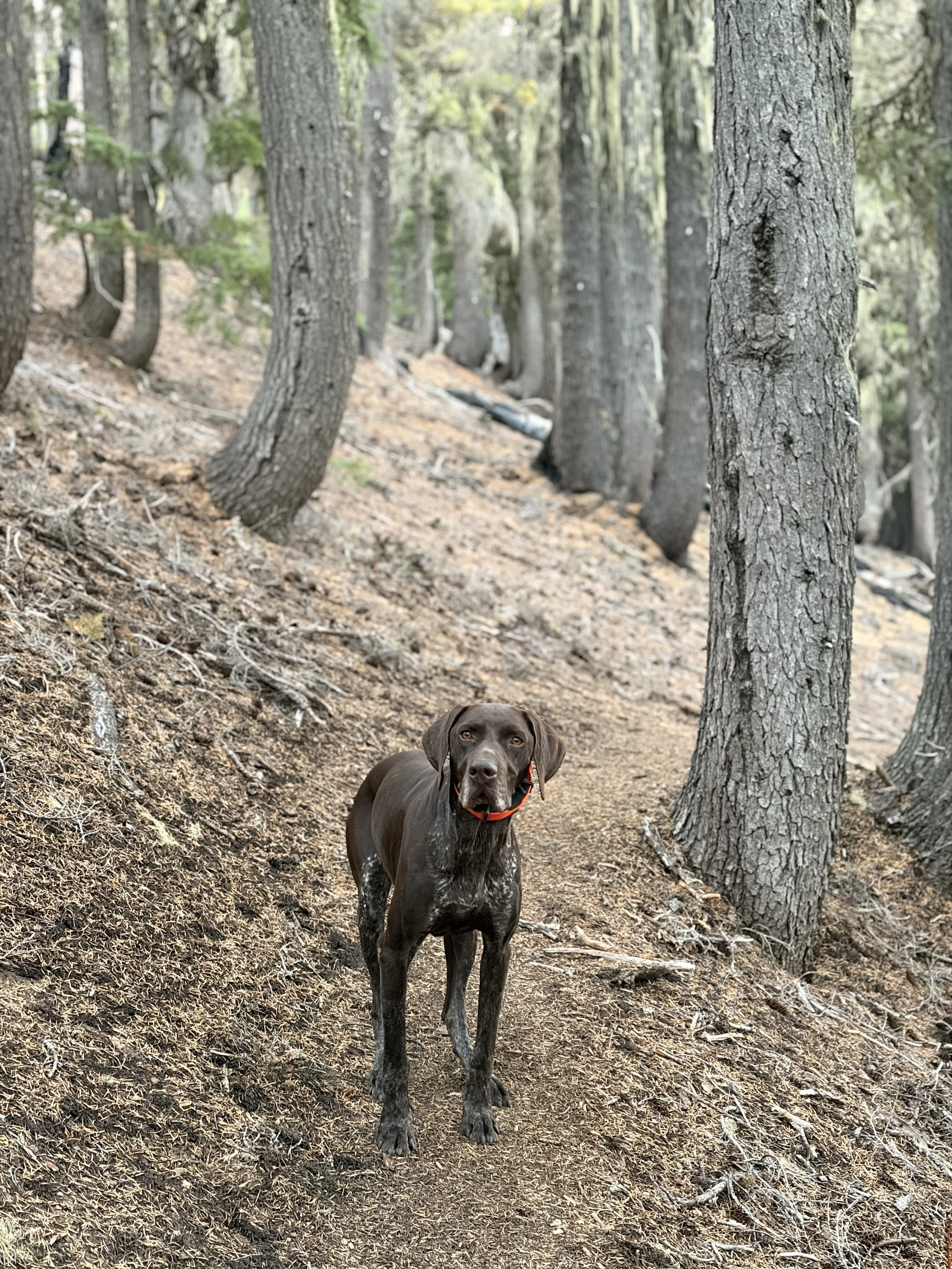
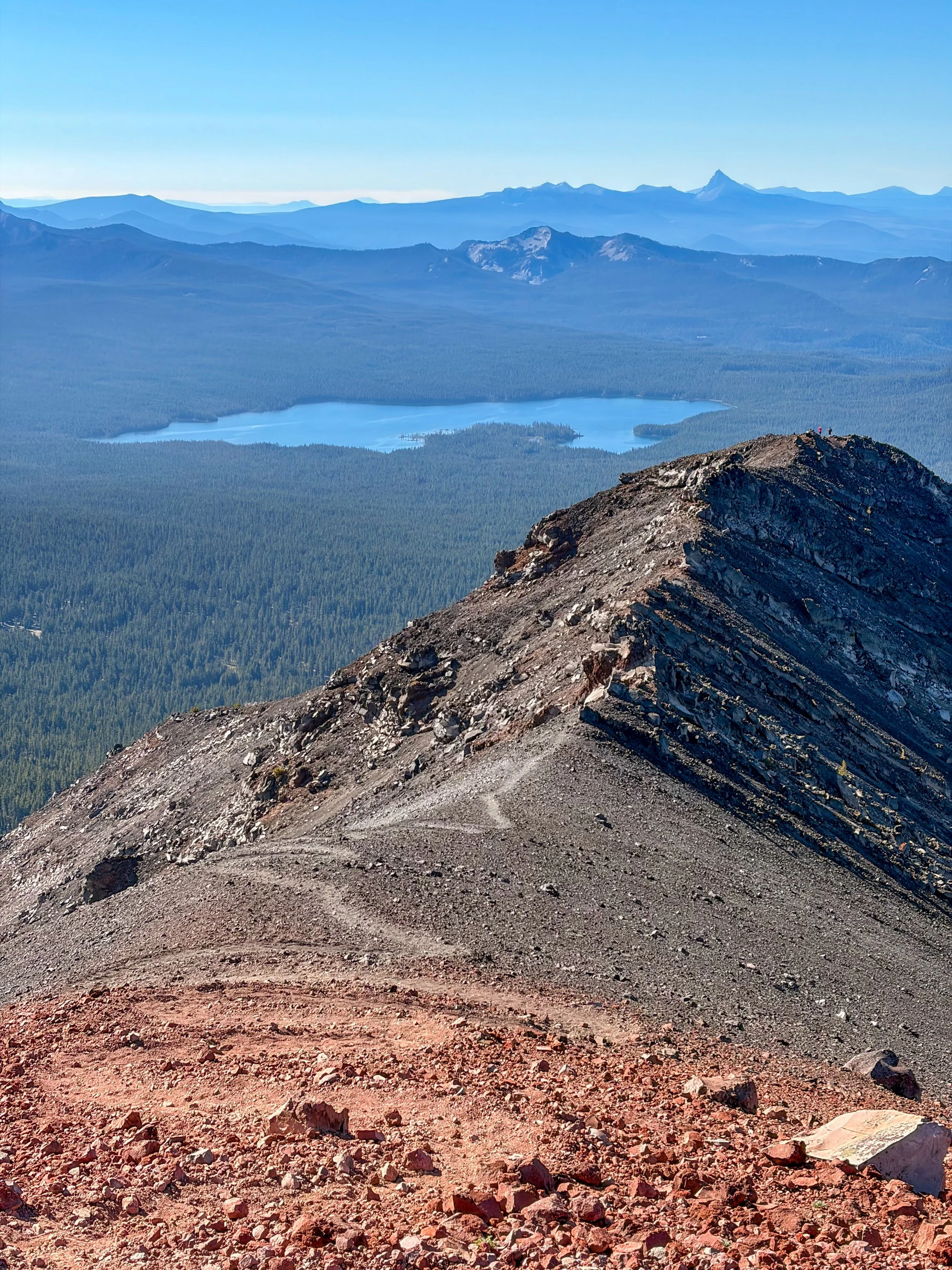
Once you reach the first false summit (yes, there are two), things level out as you approach the ridge. The ridge is relatively benign. You can take the top or drop down to the right for a less hair-raising experience. Because I had my dog with me, I opted for the lower, less precarious route (also easier on her feet).
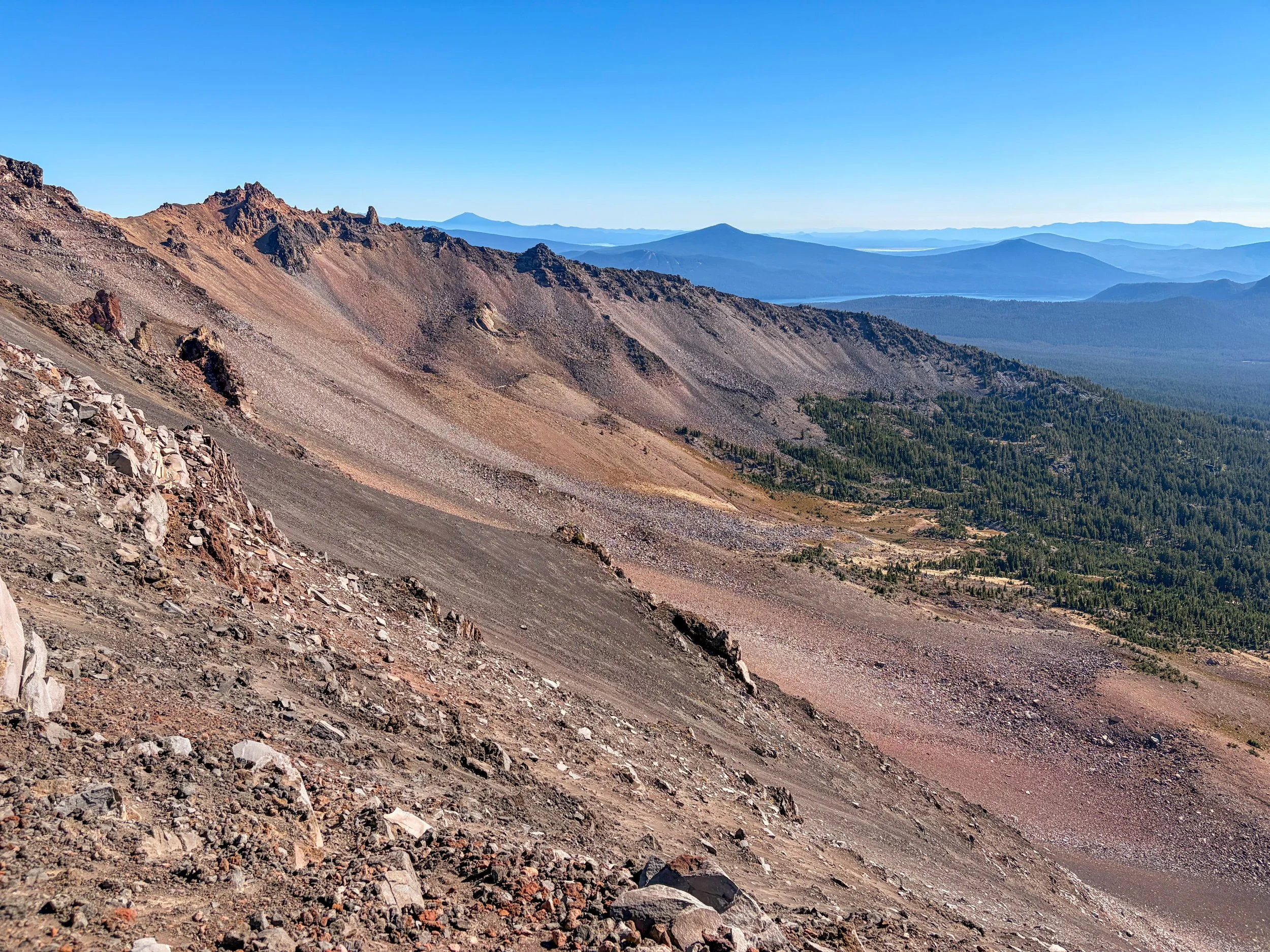
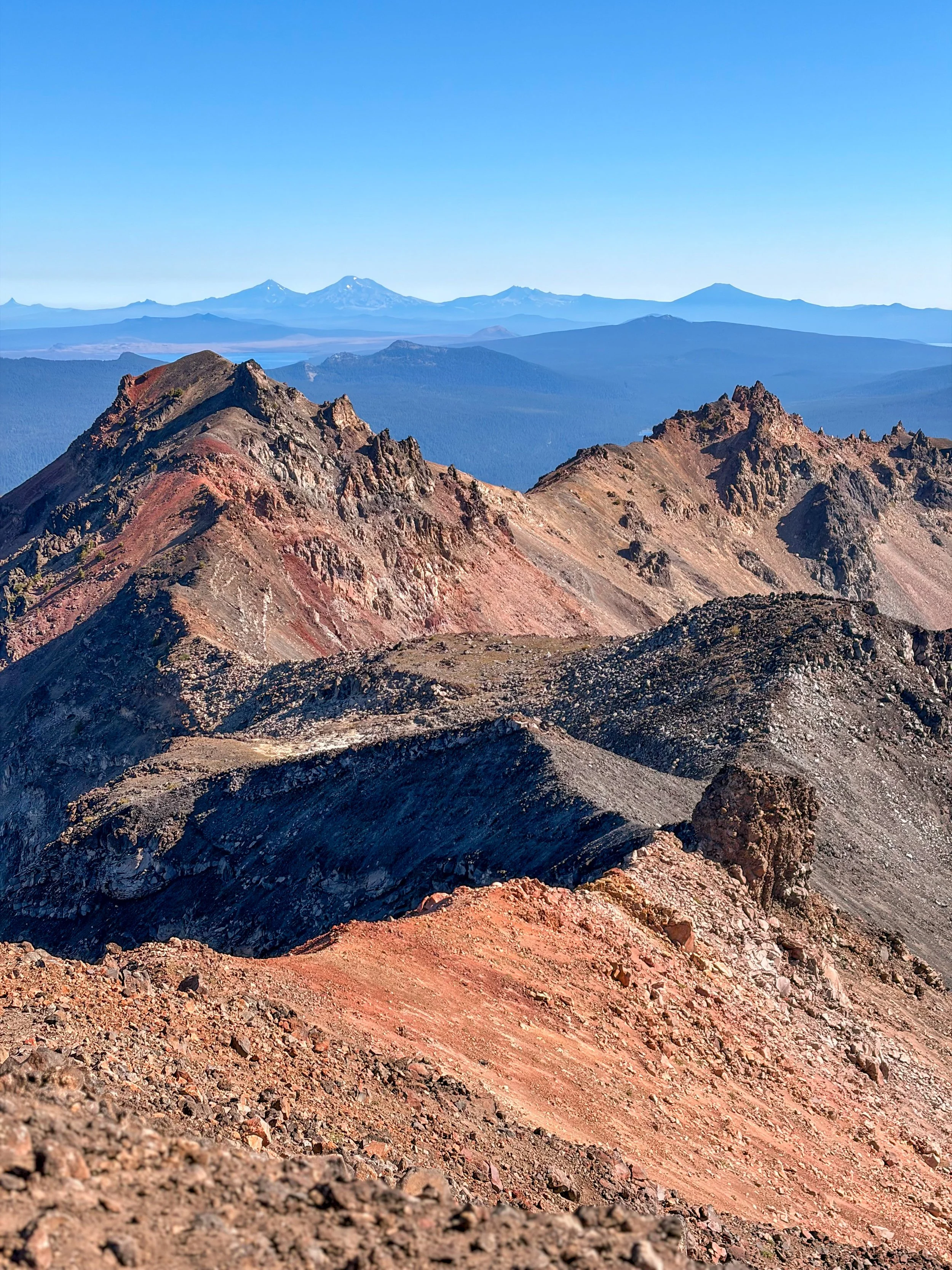
After the ridge, you’ll approach the second false summit, and here the views are fantastic. It’s not much further to the true summit, where the views look almost like Peru’s famous Vinicunca summit, minus the blue-green stripes. But there are plenty of orange and deep red hues at the Diamond Peak summit.
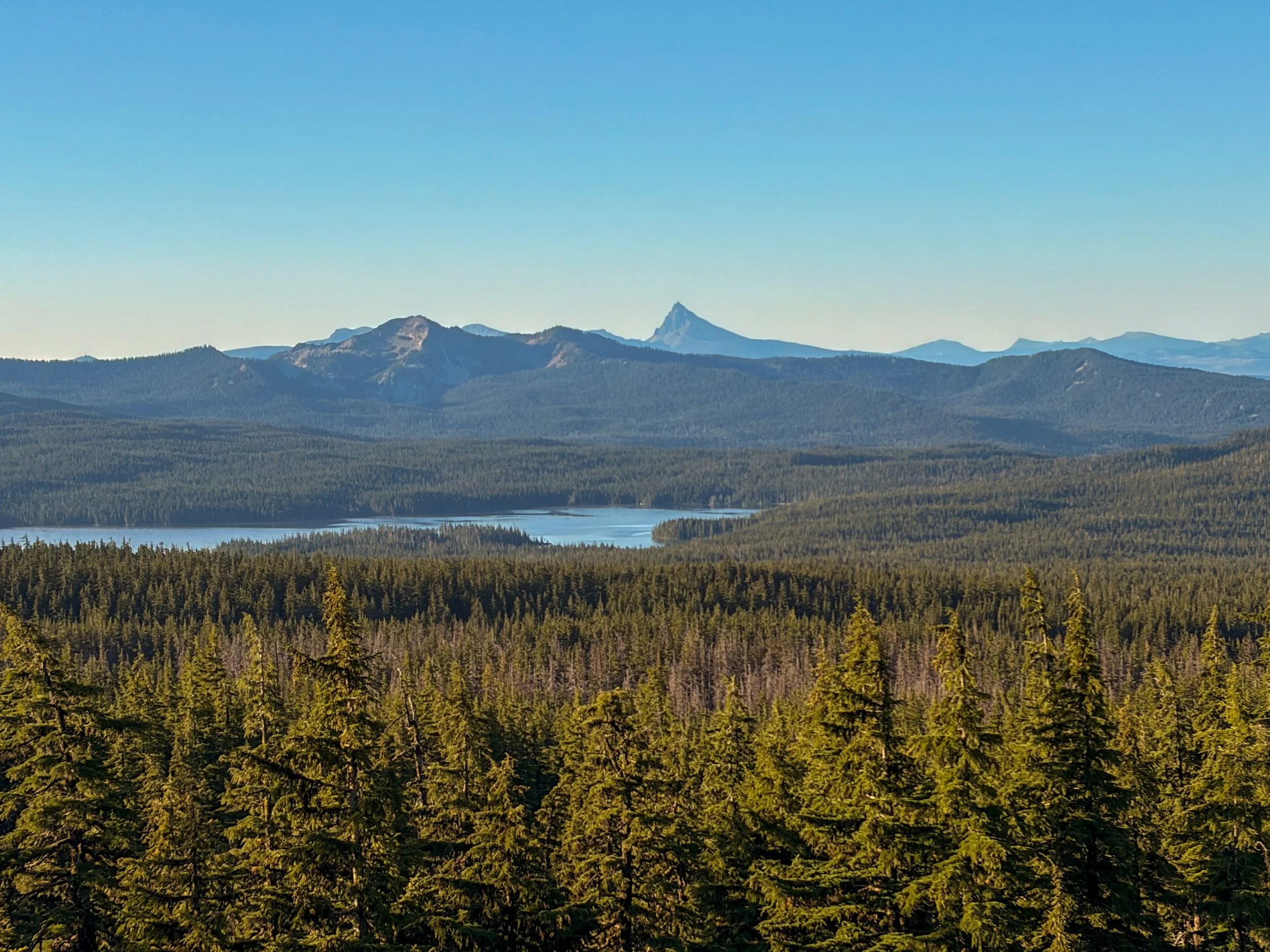
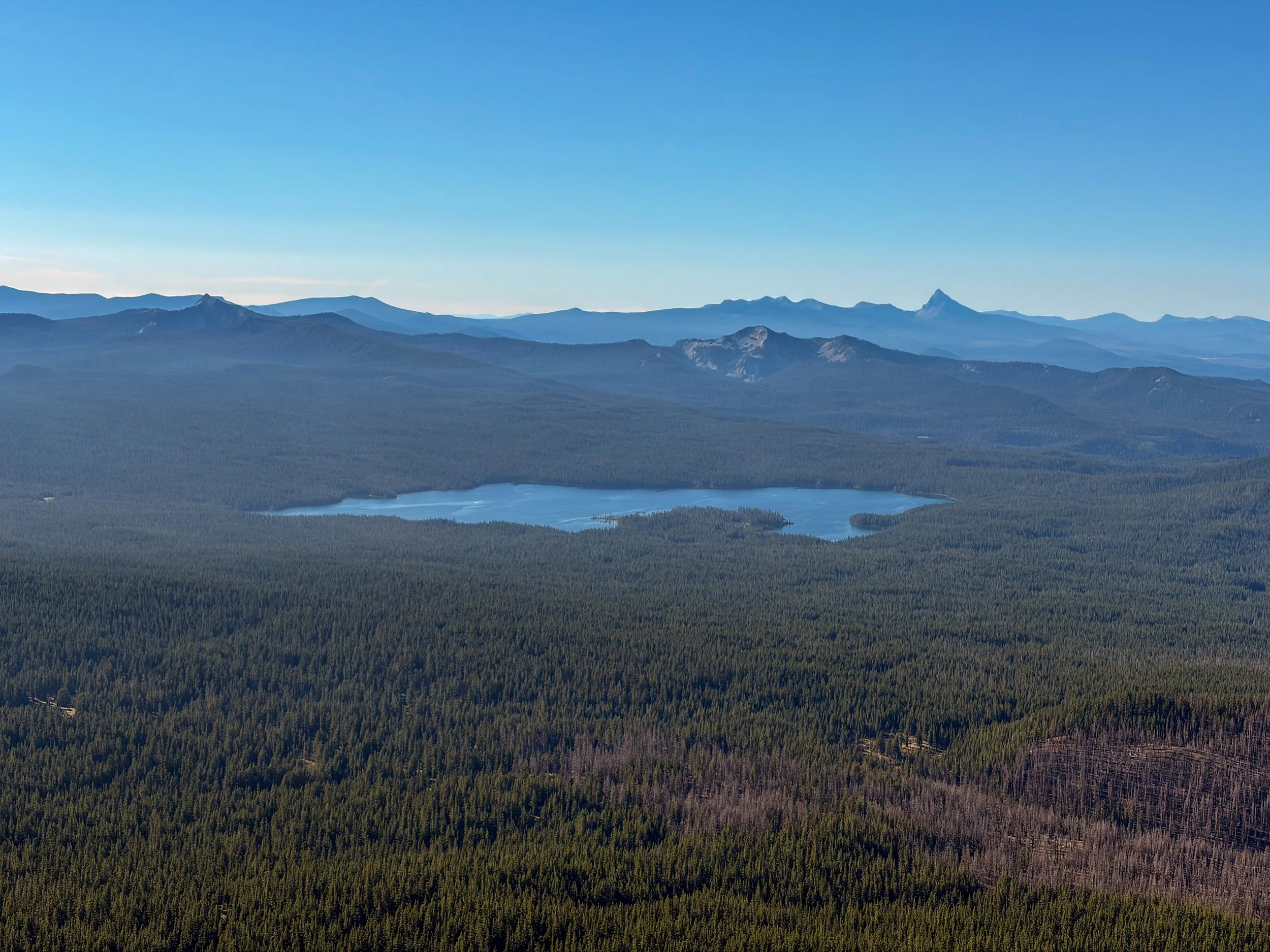
Summit Lake and Mt. Thielsen (again) from the viewpoint on Rockpile Trail, just before beginning the true ascent.
Including a break at the viewpoint to eat and hydrate, it took me just under four hours to reach the summit, averaging a little more than 1,000 vertical feet per mile on average (though, in reality, most of the gain was concentrated in the last two miles to the summit).
The descent was arguably more aggravating than the ascent; I slipped and fell four times as I moved down the scree field. It’s almost unavoidable, especially without hiking poles to help keep your balance.
Like the way up, the way down is a “make your own adventure” situation because there’s no real path. It’s a bit easier to see all the different climber paths when heading down, though.
I was happy (as were my toes) to reach leveler ground when I made it back to the viewpoint. The rest of the walk through the forest and then the burn scar was uneventful, but the side trip to Rockpile Lake helped break up the monotony a bit.
All in all, Diamond Peak is a relatively accessible summit for new and intermediate climbers, without the need for any special gear. And the views abound!